Apahida night lights from space
Night Light of Apahida (Cluj) from space (Romania) Src. Average luminocity for 10x10km area is 9.1354% and for 50x50km: 4.1944%.
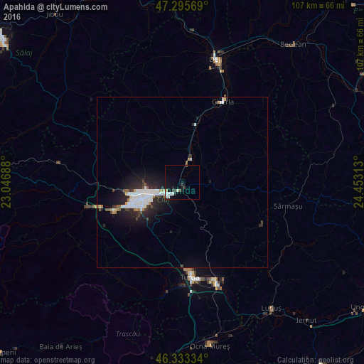
Analysis of Apahida night lights 2016
Square area 10x10 km:
 1.79%
1.79%90-99
2.68%80-89
0.3%70-79
0.6%60-69
0%50-59
0.89%40-49
0.6%30-39
1.93%20-29
1.34%10-19
6.85%0-9
83.04%Square area 50x50 km:
1.12%90-99
0.93%80-89
0.08%70-79
0.24%60-69
0.28%50-59
0.37%40-49
0.24%30-39
0.46%20-29
1.59%10-19
3.42%0-9
91.26%Clear (daylight) street map image can be seen on geolist.org.
Map coordinates:
47° 17' 44.5" North, 23° 2' 48.8" East
46° 49' 0" North, 23° 45' 0" East
46° 20' 0" North, 24° 27' 11.3" East
Some cities around Apahida sort by population:
• Cluj-Napoca
12.7 km =7.9 mi,  244°
244°
• Turda
27.9 km =17.3 mi,  174°
174°
• Câmpia Turzii
31.3 km =19.4 mi,  161°
161°
• Gherla
27.2 km =16.9 mi,  27°
27°
• Baciu
17.9 km =11.1 mi,  264°
264°
• Gilău
31 km =19.3 mi,  252°
252°
• Floreşti
21 km =13 mi, 247°
• Mihai Viteazu
31.5 km =19.6 mi,  180°
180°
686288 (p: 8,658)
Sources (retrieved 2019-11-25):
» Earth at Night: Flat Maps 2012, 2016