Şărmăşag night lights from space
Night Light of Şărmăşag (Sălaj) from space (Romania) Src. Average luminocity for 10x10km area is 0.1161% and for 50x50km: 1.2201%.
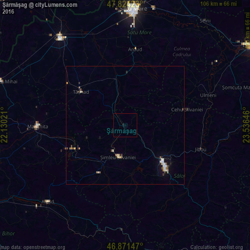
Analysis of Şărmăşag night lights 2016
Square area 10x10 km:
 0%
0%90-99
0%80-89
0%70-79
0%60-69
0%50-59
0%40-49
0%30-39
0%20-29
0%10-19
0.6%0-9
99.4%Square area 50x50 km:
0.13%90-99
0.24%80-89
0.17%70-79
0.12%60-69
0.14%50-59
0.14%40-49
0.15%30-39
0.19%20-29
0.18%10-19
0.5%0-9
98.03%Clear (daylight) street map image can be seen on geolist.org.
Map coordinates:
47° 49' 27.2" North, 22° 7' 48.8" East
47° 21' 0" North, 22° 49' 60" East
46° 52' 17.3" North, 23° 32' 11.3" East
Some cities around Şărmăşag sort by population:
• Zalău
23.4 km =14.5 mi,  135°
135°
• Şimleu Silvaniei
13.2 km =8.2 mi,  190°
190°
• Jibou
33.5 km =20.8 mi,  107°
107°
• Tăşnad
23.9 km =14.9 mi,  308°
308°
• Popeşti
34 km =21.1 mi,  247°
247°
• Ardud
31.7 km =19.7 mi,  6°
6°
• Crasna
21 km =13 mi,  166°
166°
• Nuşfalău
18.3 km =11.4 mi,  204°
204°
667970 (p: 6,400)
Sources (retrieved 2019-11-25):
» Earth at Night: Flat Maps 2012, 2016