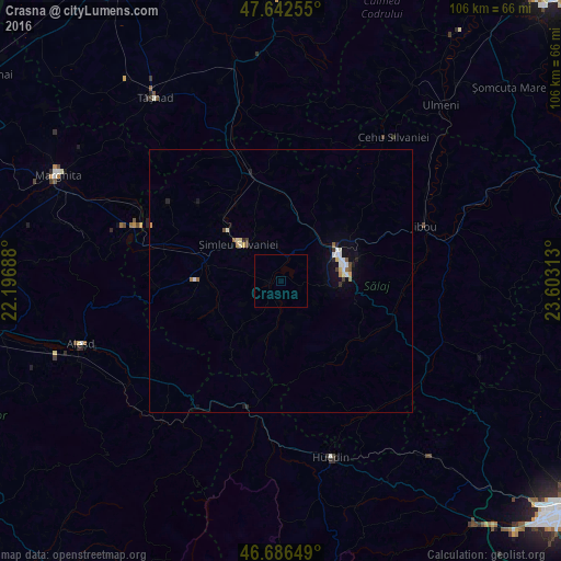
Crasna night lights from space
Night Light of Crasna (Sălaj) from space (Romania) Src. Average luminocity for 10x10km area is 0.006% and for 50x50km: 1.0216%.
Analysis of Crasna night lights 2016
Square area 10x10 km:
 0%
0%90-99
0%80-89
0%70-79
0%60-69
0%50-59
0%40-49
0%30-39
0%20-29
0%10-19
0%0-9
100%Square area 50x50 km:
0.13%90-99
0.22%80-89
0.15%70-79
0.08%60-69
0.11%50-59
0.08%40-49
0.09%30-39
0.12%20-29
0.13%10-19
0.53%0-9
98.37%Clear (daylight) street map image can be seen on geolist.org.
Map coordinates:
47° 38' 33.2" North, 22° 11' 48.8" East
47° 10' 0" North, 22° 54' 0" East
46° 41' 11.4" North, 23° 36' 11.3" East
Some cities around Crasna sort by population:
• Zalău
11.9 km =7.4 mi,  71°
71°
• Şimleu Silvaniei
10.6 km =6.6 mi,  314°
314°
• Jibou
28.8 km =17.9 mi, 69°
• Huedin
35.2 km =21.9 mi,  161°
161°
• Popeşti
37.3 km =23.2 mi,  281°
281°
• Şărmăşag
21 km =13 mi,  346°
346°
• Bratca
33.7 km =20.9 mi,  219°
219°
• Nuşfalău
13.1 km =8.1 mi,  286°
286°
680316 (p: 6,233)
Sources (retrieved 2019-11-25):
» Earth at Night: Flat Maps 2012, 2016