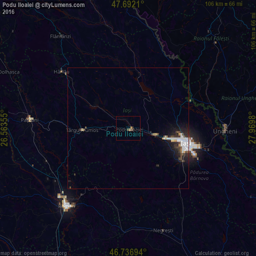
Podu Iloaiei night lights from space
Night Light of Podu Iloaiei (Iaşi) from space (Romania) Src. Average luminocity for 10x10km area is 1.9301% and for 50x50km: 2.4672%.
Analysis of Podu Iloaiei night lights 2016
Square area 10x10 km:
 0%
0%90-99
0%80-89
0%70-79
0.74%60-69
0.45%50-59
0%40-49
1.64%30-39
0.74%20-29
0%10-19
0%0-9
96.43%Square area 50x50 km:
0.78%90-99
0.34%80-89
0.07%70-79
0.21%60-69
0.11%50-59
0.2%40-49
0.42%30-39
0.42%20-29
0.81%10-19
1.7%0-9
94.94%Clear (daylight) street map image can be seen on geolist.org.
Map coordinates:
47° 41' 31.6" North, 26° 33' 48.8" East
47° 13' 0" North, 27° 16' 0" East
46° 44' 13" North, 27° 58' 11.3" East
Some cities around Podu Iloaiei sort by population:
• Belceşti
16.7 km =10.4 mi,  303°
303°
• Leţcani
11.9 km =7.4 mi,  108°
108°
• Rediu
17.6 km =10.9 mi,  90°
90°
• Voineşti
20.2 km =12.6 mi,  145°
145°
• Focuri
15.3 km =9.5 mi,  345°
345°
• Erbiceni
6.1 km =3.8 mi,  335°
335°
• Lungani
9.6 km =6 mi,  247°
247°
• Bălţaţi
8.8 km =5.5 mi,  270°
270°
670297 (p: 9,752)
Sources (retrieved 2019-11-25):
» Earth at Night: Flat Maps 2012, 2016