Frăteşti night lights from space
Night Light of Frăteşti (Giurgiu) from space (Romania) Src. Average luminocity for 10x10km area is 7.0254% and for 50x50km: 4.2273%.
Analysis of Frăteşti night lights 2016
Square area 10x10 km:
 0.32%
0.32%90-99
0.95%80-89
0.48%70-79
0.79%60-69
0.63%50-59
0%40-49
0%30-39
0.48%20-29
1.9%10-19
14.76%0-9
79.68%Square area 50x50 km:
0.47%90-99
0.62%80-89
0.5%70-79
0.45%60-69
0.45%50-59
0.5%40-49
0.86%30-39
0.77%20-29
1.28%10-19
3.35%0-9
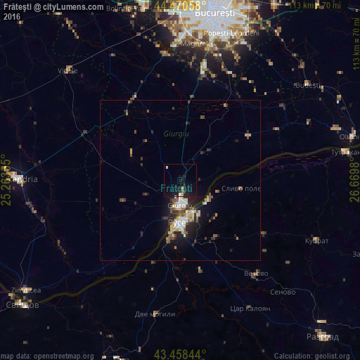
90.74%Clear (daylight) street map image can be seen on geolist.org.
Map coordinates:
44° 28' 14.1" North, 25° 15' 48.8" East
43° 58' 0" North, 25° 58' 0" East
43° 27' 30.4" North, 26° 40' 11.3" East
Some cities around Frăteşti sort by population:
• Ruse, BG
13.2 km =8.2 mi,  184°
184°
• Giurgiu
8.9 km =5.5 mi, 182°
• Vidra
36.5 km =22.7 mi,  26°
26°
• 1 Decembrie
36.8 km =22.9 mi,  11°
11°
• Comana
26.8 km =16.7 mi, 32°
• Călugăreni
22.9 km =14.2 mi, 5°
• Vedea
25.1 km =15.6 mi,  215°
215°
• Băneasa
11.8 km =7.3 mi,  41°
41°
677918 (p: 5,527)
Sources (retrieved 2019-11-25):
» Earth at Night: Flat Maps 2012, 2016