Eforie Sud night lights from space
Night Light of Eforie Sud (Constanța) from space (Romania) Src. Average luminocity for 10x10km area is 15.1778% and for 50x50km: 6.4134%.
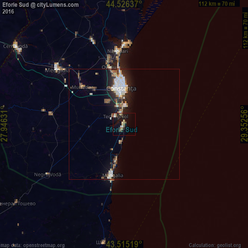
Analysis of Eforie Sud night lights 2016
Square area 10x10 km:
 0.79%
0.79%90-99
2.38%80-89
2.38%70-79
0.32%60-69
2.7%50-59
2.22%40-49
2.86%30-39
0.95%20-29
1.59%10-19
19.05%0-9
64.76%Square area 50x50 km:
1.12%90-99
1.38%80-89
0.5%70-79
0.42%60-69
0.66%50-59
0.86%40-49
0.9%30-39
0.71%20-29
2.22%10-19
4.11%0-9
87.14%Clear (daylight) street map image can be seen on geolist.org.
Map coordinates:
44° 31' 34.9" North, 27° 56' 46.7" East
44° 1' 22.6" North, 28° 38' 57.9" East
43° 30' 54.7" North, 29° 21' 9.2" East
Some cities around Eforie Sud sort by population:
• Constanţa
17.6 km =10.9 mi,  356°
356°
• Mangalia
25.3 km =15.7 mi,  192°
192°
• Cumpăna
12.3 km =7.6 mi,  327°
327°
• Valu lui Traian
21.6 km =13.4 mi,  317°
317°
• Techirghiol
5 km =3.1 mi,  307°
307°
• Tuzla
2.9 km =1.8 mi,  206°
206°
• Agigea
8.3 km =5.2 mi,  338°
338°
• Topraisar
16 km =9.9 mi,  267°
267°
678588 (p: 9,498)
Sources (retrieved 2019-11-25):
» Earth at Night: Flat Maps 2012, 2016