Câmpeni night lights from space
Night Light of Câmpeni (Alba) from space (Romania) Src. Average luminocity for 10x10km area is 1.3586% and for 50x50km: 0.0745%.
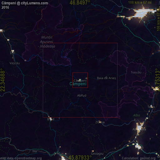
Analysis of Câmpeni night lights 2016
Square area 10x10 km:
100  0%
0%
90-99 0%
80-89 0%
70-79 0.6%
60-69 0%
50-59 0%
40-49 0.45%
30-39 0.89%
20-29 0.45%
10-19 1.19%
0-9 96.43%
0%90-99
0%80-89
0%70-79
0.6%60-69
0%50-59
0%40-49
0.45%30-39
0.89%20-29
0.45%10-19
1.19%0-9
96.43%Square area 50x50 km:
100 0%
90-99 0%
80-89 0%
70-79 0.02%
60-69 0%
50-59 0%
40-49 0.03%
30-39 0.04%
20-29 0.04%
10-19 0.07%
0-9 99.8%
0%90-99
0%80-89
0%70-79
0.02%60-69
0%50-59
0%40-49
0.03%30-39
0.04%20-29
0.04%10-19
0.07%0-9
99.8%Clear (daylight) street map image can be seen on geolist.org.
Map coordinates:
46° 50' 58.9" North, 22° 20' 48.8" East
46° 22' 0" North, 23° 3' 0" East
45° 52' 45.6" North, 23° 45' 11.3" East
Some cities around Câmpeni sort by population:
• Aiud
51.9 km =32.2 mi,  96°
96°
• Brad
33.1 km =20.6 mi,  218°
218°
• Zlatna
32.1 km =19.9 mi,  154°
154°
• Gilău
47.1 km =29.3 mi,  30°
30°
• Ștei
49.6 km =30.8 mi,  291°
291°
• Ighiu
43.2 km =26.8 mi,  123°
123°
• Abrud
10.3 km =6.4 mi,  174°
174°
• Geoagiu
51.4 km =31.9 mi, 166°
681876 (p: 7,932)
Sources (retrieved 2019-11-25):
» Earth at Night: Flat Maps 2012, 2016