Nimigea de Sus night lights from space
Night Light of Nimigea de Sus (Bistriţa-Năsăud) from space (Romania) Src. Average luminocity for 10x10km area is 0.1875% and for 50x50km: 0.8588%.
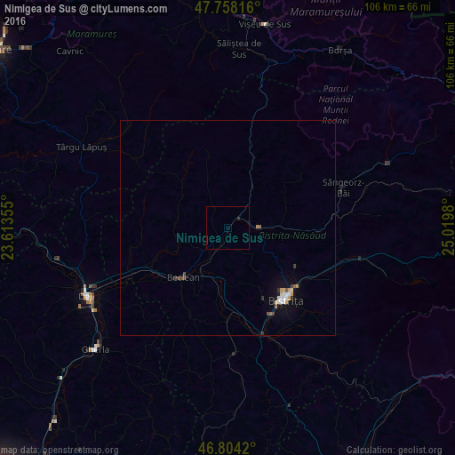
Analysis of Nimigea de Sus night lights 2016
Square area 10x10 km:
 0%
0%90-99
0%80-89
0%70-79
0%60-69
0%50-59
0%40-49
0%30-39
0%20-29
0.6%10-19
0%0-9
99.4%Square area 50x50 km:
0.12%90-99
0.11%80-89
0.12%70-79
0.13%60-69
0.05%50-59
0.09%40-49
0.12%30-39
0.11%20-29
0.1%10-19
0.48%0-9
98.56%Clear (daylight) street map image can be seen on geolist.org.
Map coordinates:
47° 45' 29.4" North, 23° 36' 48.8" East
47° 16' 60" North, 24° 19' 0" East
46° 48' 15.1" North, 25° 1' 11.3" East
Some cities around Nimigea de Sus sort by population:
• Bistriţa
21.7 km =13.5 mi,  140°
140°
• Beclean
15 km =9.3 mi,  222°
222°
• Năsăud
6.3 km =3.9 mi,  90°
90°
• Sângeorz-Băi
28.4 km =17.6 mi,  70°
70°
• Feldru
21.4 km =13.3 mi, 90°
• Suciu de Sus
27.1 km =16.8 mi,  308°
308°
• Căianu Mic
13.8 km =8.6 mi,  246°
246°
• Telciu
17.8 km =11.1 mi,  20°
20°
672216 (p: 5,457)
Sources (retrieved 2019-11-25):
» Earth at Night: Flat Maps 2012, 2016