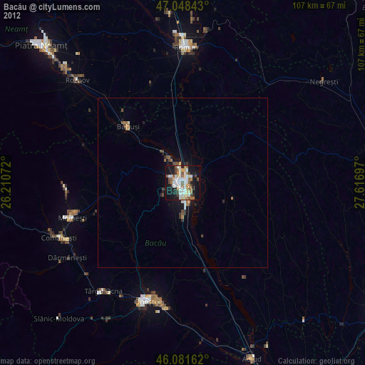
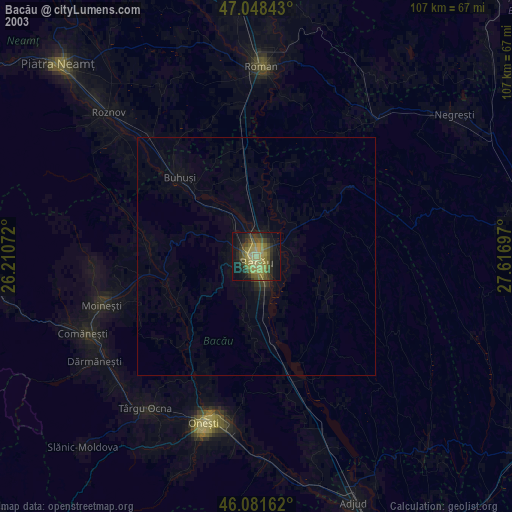
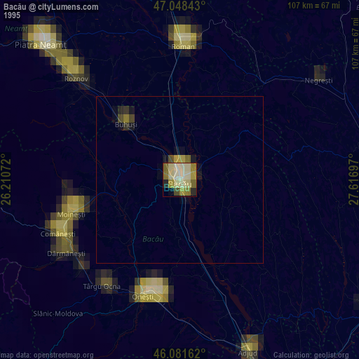
Bacău night lights from space
Night Light of Bacău from space (Romania) Src. Average luminocity for 10x10km area is 40.3707% and for 50x50km: 2.3199%.
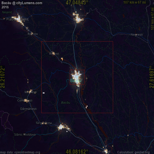
Analysis of Bacău night lights 2016
Square area 10x10 km:
 10.51%
90-99
11.36%80-89
5.11%70-79
0.85%60-69
1.99%50-59
1.7%40-49
3.27%30-39
5.4%20-29
10.8%10-19
32.95%0-9
16.05%Square area 50x50 km:
0.46%90-99
0.58%80-89
0.26%70-79
0.11%60-69
0.11%50-59
0.11%40-49
0.23%30-39
0.27%20-29
0.57%10-19
2.31%0-9
94.99%Clear (daylight) street map image can be seen on geolist.org.
Map coordinates:
47° 2' 54.3" North, 26° 12' 38.6" East
46° 34' 1.8" North, 26° 54' 49.8" East
46° 4' 53.8" North, 27° 37' 1.1" East
Some cities around Bacău sort by population:
• Buhuşi
23.3 km =14.5 mi,  315°
315°
• Nicolae Bălcescu
11.2 km =7 mi,  178°
178°
• Mărgineni-Munteni
3.8 km =2.4 mi,  343°
343°
• Cleja
16.8 km =10.4 mi, 183°
• Tamaşi
10.7 km =6.6 mi,  150°
150°
• Bereşti-Tazlău
22 km =13.7 mi,  239°
239°
• Livezi-Vale
21.7 km =13.5 mi,  219°
219°
• Faraoaní
14.9 km =9.3 mi, 184°
685948 (p: 171,396)
Sources (retrieved 2019-11-25):
» NASA, Earths city lights 1995
» NASA city lights 2003
» Earth at Night: Flat Maps 2012, 2016