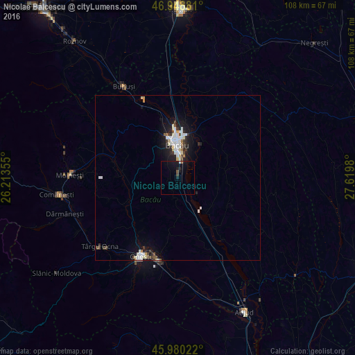
Nicolae Bălcescu night lights from space
Night Light of Nicolae Bălcescu (Bacău) from space (Romania) Src. Average luminocity for 10x10km area is 4.1037% and for 50x50km: 2.9335%.
Analysis of Nicolae Bălcescu night lights 2016
Square area 10x10 km:
 0.28%
0.28%90-99
0.28%80-89
0%70-79
0%60-69
0.57%50-59
0.43%40-49
0.71%30-39
0%20-29
0.71%10-19
8.66%0-9
88.35%Square area 50x50 km:
0.58%90-99
0.72%80-89
0.33%70-79
0.12%60-69
0.14%50-59
0.17%40-49
0.38%30-39
0.36%20-29
0.59%10-19
2.65%0-9
93.96%Clear (daylight) street map image can be seen on geolist.org.
Map coordinates:
46° 56' 55.7" North, 26° 12' 48.8" East
46° 28' 0" North, 26° 55' 0" East
45° 58' 48.8" North, 27° 37' 11.3" East
Some cities around Nicolae Bălcescu sort by population:
• Bacău
11.2 km =7 mi,  358°
358°
• Mărgineni-Munteni
14.9 km =9.3 mi, 355°
• Răcăciuni
15.7 km =9.8 mi,  160°
160°
• Helegiu
18.2 km =11.3 mi,  224°
224°
• Cleja
5.7 km =3.5 mi,  192°
192°
• Tamaşi
5.4 km =3.4 mi,  70°
70°
• Livezi-Vale
15.1 km =9.4 mi,  248°
248°
• Faraoaní
3.9 km =2.4 mi,  199°
199°
672275 (p: 10,140)
Sources (retrieved 2019-11-25):
» Earth at Night: Flat Maps 2012, 2016