Cluj-Napoca night lights from space
Night Light of Cluj-Napoca (Cluj) from space (Romania) Src. Average luminocity for 10x10km area is 58.0655% and for 50x50km: 5.0221%.
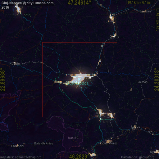
Analysis of Cluj-Napoca night lights 2016
Square area 10x10 km:
 23.66%
90-99
17.11%80-89
0.89%70-79
2.53%60-69
2.53%50-59
3.13%40-49
2.53%30-39
5.51%20-29
26.34%10-19
13.69%0-9
2.08%Square area 50x50 km:
1.19%90-99
1.05%80-89
0.2%70-79
0.35%60-69
0.34%50-59
0.53%40-49
0.5%30-39
0.6%20-29
1.6%10-19
4.07%0-9
89.57%Clear (daylight) street map image can be seen on geolist.org.
Map coordinates:
47° 14' 46.1" North, 22° 53' 48.8" East
46° 46' 0" North, 23° 36' 0" East
46° 16' 58.4" North, 24° 18' 11.3" East
Some cities around Cluj-Napoca sort by population:
• Turda
26.3 km =16.3 mi,  147°
147°
• Câmpia Turzii
32.4 km =20.1 mi,  138°
138°
• Apahida
12.7 km =7.9 mi,  64°
64°
• Baciu
7.3 km =4.5 mi,  300°
300°
• Gilău
18.5 km =11.5 mi,  258°
258°
• Floreşti
8.4 km =5.2 mi,  253°
253°
• Viişoara
34.1 km =21.2 mi,  134°
134°
• Mihai Viteazu
28.4 km =17.6 mi,  156°
156°
681290 (p: 316,748)
Sources (retrieved 2019-11-25):
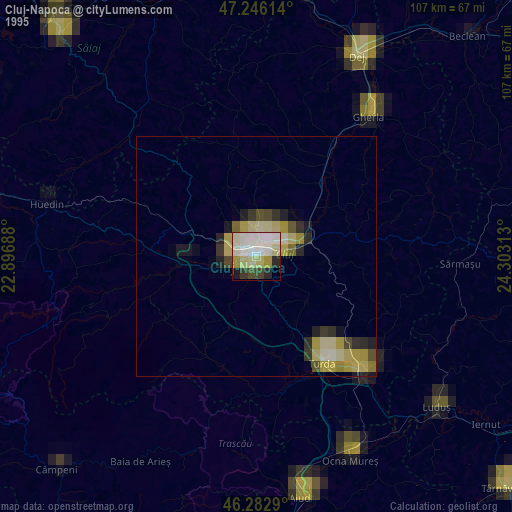
» NASA, Earths city lights 1995
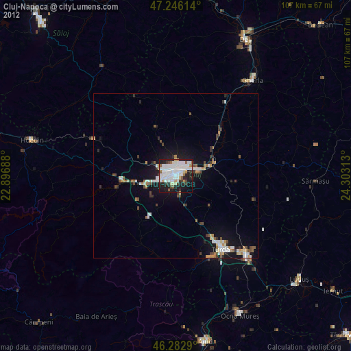
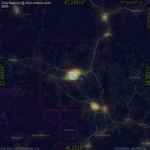
» NASA city lights 2003
» Earth at Night: Flat Maps 2012, 2016