Saint-Paul night lights from space
Night Light of Saint-Paul (Réunion) from space (Reunion) Src. Average luminocity for 10x10km area is 49.6766% and for 50x50km: 11.4321%.
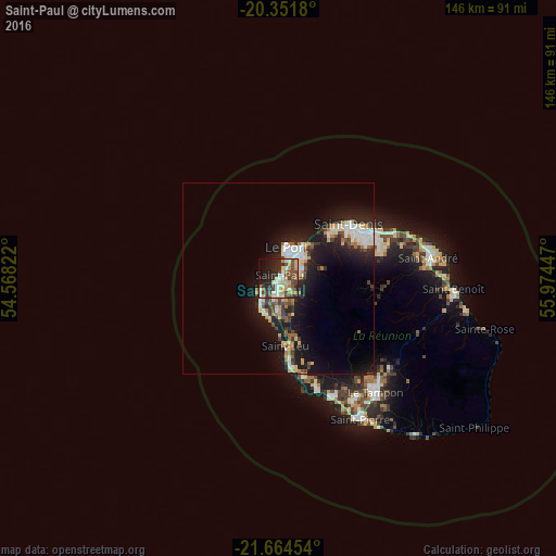
Analysis of Saint-Paul night lights 2016
Square area 10x10 km:
 3.77%
3.77%90-99
9.72%80-89
11.11%70-79
7.54%60-69
6.55%50-59
4.56%40-49
13.89%30-39
5.36%20-29
17.86%10-19
14.09%0-9
5.56%Square area 50x50 km:
1.49%90-99
2.15%80-89
1.6%70-79
1.16%60-69
1.19%50-59
0.97%40-49
1.59%30-39
1.63%20-29
3.65%10-19
10.74%0-9
73.84%Clear (daylight) street map image can be seen on geolist.org.
Map coordinates:
20° 21' 6.5" South, 54° 34' 5.6" East
21° 0' 34.6" South, 55° 16' 16.8" East
21° 39' 52.3" South, 55° 58' 28.1" East
Some cities around Saint-Paul sort by population:
• Le Port
8.4 km =5.2 mi,  16°
16°
• Piton Saint-Leu
23.8 km =14.8 mi,  168°
168°
• La Possession
11.1 km =6.9 mi,  36°
36°
• Les Avirons
26.6 km =16.5 mi, 165°
• Salazie
27.9 km =17.3 mi,  93°
93°
• Les Trois-Bassins
10.5 km =6.5 mi,  163°
163°
• Cilaos
25.1 km =15.6 mi,  124°
124°
• Entre-Deux
32.1 km =19.9 mi,  140°
140°
935221 (p: 99,307)
Sources (retrieved 2019-11-25):
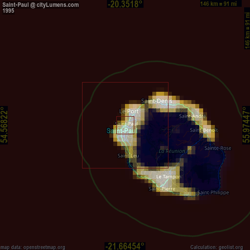
» NASA, Earths city lights 1995
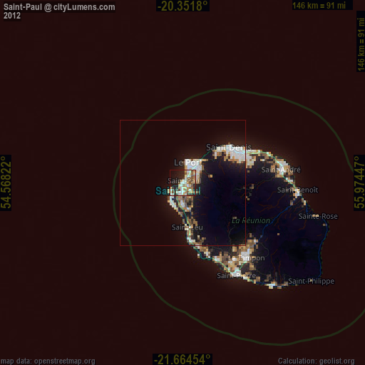
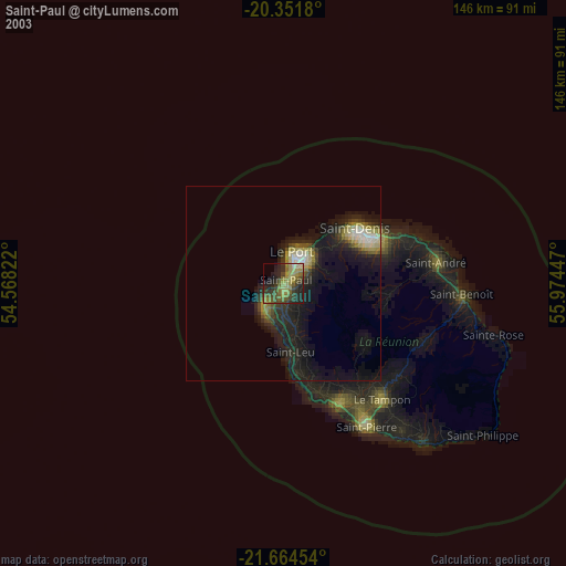
» NASA city lights 2003
» Earth at Night: Flat Maps 2012, 2016