Bougado night lights from space
Night Light of Bougado (Porto) from space (Portugal) Src. Average luminocity for 10x10km area is 73.2772% and for 50x50km: 61.0835%.
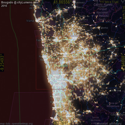
Analysis of Bougado night lights 2016
Square area 10x10 km:
 12.41%
90-99
21.77%80-89
8.5%70-79
9.35%60-69
18.03%50-59
14.29%40-49
8.5%30-39
7.14%20-29
0%10-19
0%0-9
0%Square area 50x50 km:
13.56%90-99
13.08%80-89
7.97%70-79
10.01%60-69
12.36%50-59
9.38%40-49
8.27%30-39
6.43%20-29
4.85%10-19
3.17%0-9
10.91%Clear (daylight) street map image can be seen on geolist.org.
Map coordinates:
41° 51' 56" North, 9° 15' 17.7" West
41° 20' 23.2" North, 8° 33' 6.5" West
40° 48' 35.1" North, 7° 50' 55.2" West
Some cities around Bougado sort by population:
• Trofa
0.7 km =0.4 mi,  246°
246°
• Santo Tirso
6.2 km =3.9 mi,  87°
87°
• Calendário
7.3 km =4.5 mi,  14°
14°
• Vila Nova de Famalicão
8 km =5 mi,  19°
19°
• Ribeirão
2.7 km =1.7 mi,  330°
330°
• São Romão do Coronado
6.1 km =3.8 mi,  188°
188°
• Ferreiros
1.1 km =0.7 mi, 7°
• São Miguel do Couto
7.6 km =4.7 mi,  96°
96°
2742051 (p: 21,680)
Sources (retrieved 2019-11-25):
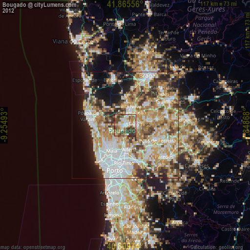
» Earth at Night: Flat Maps 2012, 2016