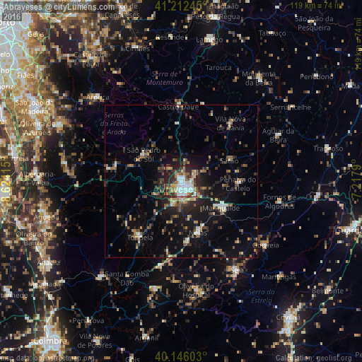
Abraveses night lights from space
Night Light of Abraveses (Viseu) from space (Portugal) Src. Average luminocity for 10x10km area is 62.1932% and for 50x50km: 12.5156%.
Analysis of Abraveses night lights 2016
Square area 10x10 km:
 15.26%
90-99
15.75%80-89
6.49%70-79
8.93%60-69
5.19%50-59
9.58%40-49
6.49%30-39
8.6%20-29
17.53%10-19
6.17%0-9
0%Square area 50x50 km:
1.04%90-99
1.67%80-89
1.1%70-79
1.07%60-69
1.66%50-59
2.05%40-49
1.81%30-39
2.72%20-29
4.59%10-19
9.6%0-9
72.7%Clear (daylight) street map image can be seen on geolist.org.
Map coordinates:
41° 12' 44.8" North, 8° 37' 26.9" West
40° 40' 52.9" North, 7° 55' 15.7" West
40° 8' 45.7" North, 7° 13' 4.4" West
Some cities around Abraveses sort by population:
• Viseu
2.5 km =1.6 mi,  157°
157°
• Rio de Loba
4 km =2.5 mi,  115°
115°
• Mangualde
16 km =9.9 mi, 122°
• Tondela
22.7 km =14.1 mi,  216°
216°
• Seia
34.6 km =21.5 mi,  148°
148°
• Carregal do Sal
28.4 km =17.6 mi,  193°
193°
• Aguiar da Beira
35.1 km =21.8 mi,  64°
64°
• Vila Nova de Paiva
25.1 km =15.6 mi,  40°
40°
2743428 (p: 9,319)
Sources (retrieved 2019-11-25):
» Earth at Night: Flat Maps 2012, 2016