Kraków night lights from space
Night Light of Kraków (Lesser Poland) from space (Poland) Src. Average luminocity for 10x10km area is 94.5812% and for 50x50km: 18.3779%.
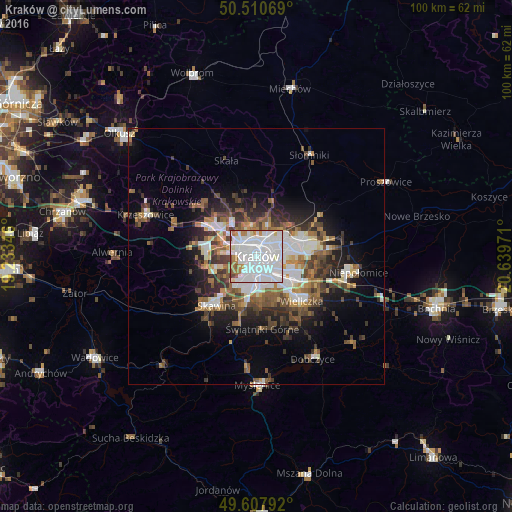
Analysis of Kraków night lights 2016
Square area 10x10 km:
 54.2%
54.2%90-99
31.65%80-89
1.82%70-79
2.8%60-69
6.44%50-59
1.54%40-49
1.26%30-39
0.28%20-29
0%10-19
0%0-9
0%Square area 50x50 km:
4.21%90-99
3.54%80-89
1.22%70-79
1.39%60-69
2.75%50-59
2.85%40-49
3.01%30-39
3.3%20-29
3.74%10-19
6.84%0-9
67.15%Clear (daylight) street map image can be seen on geolist.org.
Map coordinates:
50° 30' 38.5" North, 19° 14' 0.5" East
50° 3' 41.1" North, 19° 56' 11.7" East
49° 36' 28.5" North, 20° 38' 23" East
Some cities around Kraków sort by population:
• Skawina
12.3 km =7.6 mi,  218°
218°
• Wieliczka
12.3 km =7.6 mi,  131°
131°
• Myślenice
25.3 km =15.7 mi,  179°
179°
• Krzeszowice
23.5 km =14.6 mi,  292°
292°
• Niepołomice
20.5 km =12.7 mi,  96°
96°
• Sułkowice
26.4 km =16.4 mi,  201°
201°
• Dobczyce
22.8 km =14.2 mi,  151°
151°
• Proszowice
29.1 km =18.1 mi,  59°
59°
3094802 (p: 755,050)
Sources (retrieved 2019-11-25):
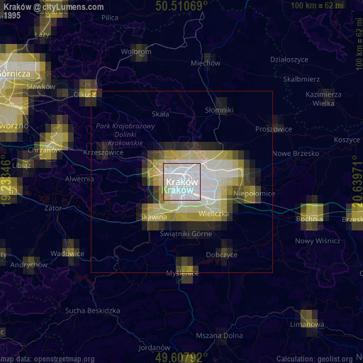
» NASA, Earths city lights 1995
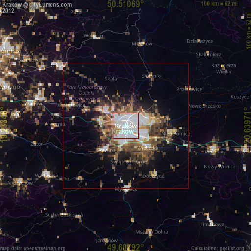
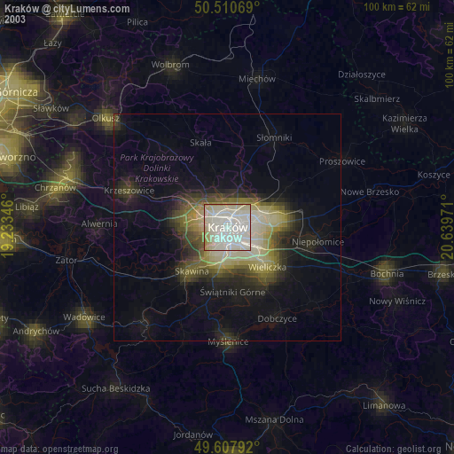
» NASA city lights 2003
» Earth at Night: Flat Maps 2012, 2016