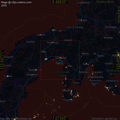
Naga night lights from space
Night Light of Naga (Zamboanga Peninsula) from space (Philippines) Src. Average luminocity for 10x10km area is 1.7376% and for 50x50km: 0.4154%.
Analysis of Naga night lights 2016
Square area 10x10 km:
 0%
0%90-99
0%80-89
0%70-79
0%60-69
0.62%50-59
0.21%40-49
0.83%30-39
2.07%20-29
0%10-19
0%0-9
96.28%Square area 50x50 km:
0%90-99
0.03%80-89
0%70-79
0.05%60-69
0.21%50-59
0.08%40-49
0.09%30-39
0.16%20-29
0.1%10-19
0.08%0-9
99.19%Clear (daylight) street map image can be seen on geolist.org.
Map coordinates:
8° 27' 58.9" North, 122° 2' 51.8" East
7° 46' 13" North, 122° 45' 3" East
7° 4' 23" North, 123° 27' 14.3" East
Some cities around Naga sort by population:
• Ipil
18.2 km =11.3 mi,  274°
274°
• Titay
24.3 km =15.1 mi,  281°
281°
• Katipunan
22.7 km =14.1 mi,  157°
157°
• Buug
34.3 km =21.3 mi,  97°
97°
• Malangas
34.6 km =21.5 mi,  116°
116°
• Salug
38.5 km =23.9 mi,  5°
5°
• Talusan
38.8 km =24.1 mi,  170°
170°
• Imelda
26.2 km =16.3 mi, 121°
1698840 (p: 8,461)
Sources (retrieved 2019-11-25):
» Earth at Night: Flat Maps 2012, 2016