Tabaco night lights from space
Night Light of Tabaco (Bicol) from space (Philippines) Src. Average luminocity for 10x10km area is 4.2603% and for 50x50km: 2.0599%.
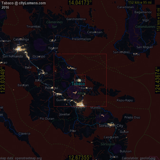
Analysis of Tabaco night lights 2016
Square area 10x10 km:
 0%
0%90-99
0%80-89
0.41%70-79
2.27%60-69
0.62%50-59
0%40-49
0.21%30-39
2.27%20-29
0.21%10-19
1.24%0-9
92.77%Square area 50x50 km:
0.05%90-99
0.1%80-89
0.45%70-79
0.41%60-69
0.35%50-59
0.36%40-49
0.42%30-39
0.34%20-29
0.26%10-19
0.91%0-9
96.35%Clear (daylight) street map image can be seen on geolist.org.
Map coordinates:
14° 2' 30.2" North, 123° 1' 49.8" East
13° 21' 31" North, 123° 44' 1" East
12° 40' 24.8" North, 124° 26' 12.3" East
Some cities around Tabaco sort by population:
• San Jose
19.9 km =12.4 mi,  267°
267°
• Malilipot
4.5 km =2.8 mi,  173°
173°
• Tiwi
12.5 km =7.8 mi,  332°
332°
• Tagas
21.4 km =13.3 mi,  184°
184°
• Bigaa
17.9 km =11.1 mi, 172°
• Bacacay
9.6 km =6 mi,  138°
138°
• Libog
14.6 km =9.1 mi,  160°
160°
• Bonga
9.2 km =5.7 mi, 162°
1685117 (p: 57,860)
Sources (retrieved 2019-11-25):
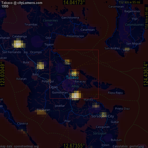
» NASA, Earths city lights 1995
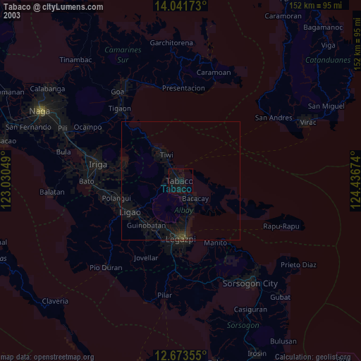
» NASA city lights 2003
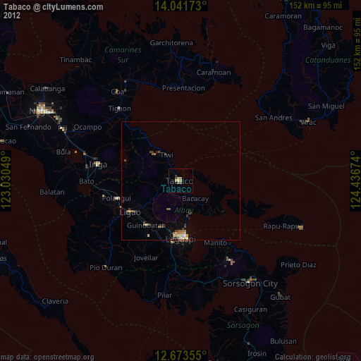
» Earth at Night: Flat Maps 2012, 2016