Malilipot night lights from space
Night Light of Malilipot (Bicol) from space (Philippines) Src. Average luminocity for 10x10km area is 3.8512% and for 50x50km: 2.2709%.
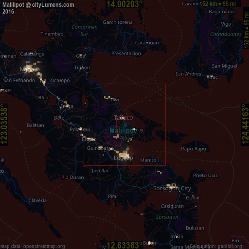
Analysis of Malilipot night lights 2016
Square area 10x10 km:
100  0%
0%
90-99 0%
80-89 0.41%
70-79 2.27%
60-69 0.62%
50-59 0%
40-49 0.21%
30-39 1.45%
20-29 0.62%
10-19 0.62%
0-9 93.8%
0%90-99
0%80-89
0.41%70-79
2.27%60-69
0.62%50-59
0%40-49
0.21%30-39
1.45%20-29
0.62%10-19
0.62%0-9
93.8%Square area 50x50 km:
100 0.05%
90-99 0.1%
80-89 0.47%
70-79 0.45%
60-69 0.36%
50-59 0.36%
40-49 0.42%
30-39 0.36%
20-29 0.37%
10-19 1.26%
0-9 95.79%
0.05%90-99
0.1%80-89
0.47%70-79
0.45%60-69
0.36%50-59
0.36%40-49
0.42%30-39
0.36%20-29
0.37%10-19
1.26%0-9
95.79%Clear (daylight) street map image can be seen on geolist.org.
Map coordinates:
14° 0' 7.3" North, 123° 2' 7.4" East
13° 19' 7.7" North, 123° 44' 18.6" East
12° 38' 1.1" North, 124° 26' 29.9" East
Some cities around Malilipot sort by population:
• Tabaco
4.5 km =2.8 mi,  353°
353°
• Tiwi
16.8 km =10.4 mi,  338°
338°
• Tagas
17.1 km =10.6 mi,  187°
187°
• Bigaa
13.4 km =8.3 mi,  171°
171°
• Bacacay
6.4 km =4 mi,  116°
116°
• Libog
10.3 km =6.4 mi,  155°
155°
• Sagpon
18.8 km =11.7 mi,  181°
181°
• Bonga
4.8 km =3 mi,  153°
153°
1702763 (p: 33,593)
Sources (retrieved 2019-11-25):
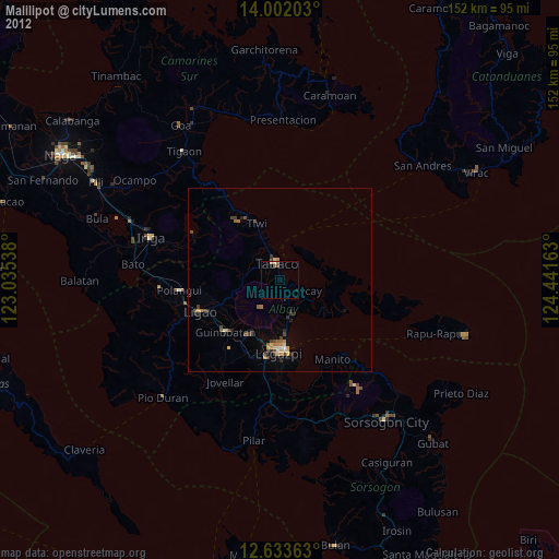
» Earth at Night: Flat Maps 2012, 2016