Bigaa night lights from space
Night Light of Bigaa (Bicol) from space (Philippines) Src. Average luminocity for 10x10km area is 11.3442% and for 50x50km: 2.1675%.
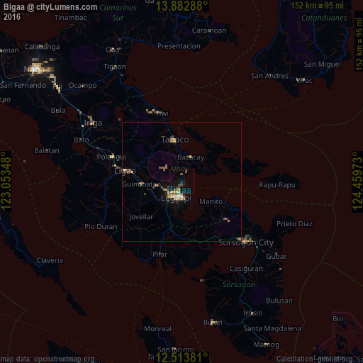
Analysis of Bigaa night lights 2016
Square area 10x10 km:
100  0%
0%
90-99 0%
80-89 3.46%
70-79 1.73%
60-69 0%
50-59 1.3%
40-49 3.9%
30-39 1.95%
20-29 1.08%
10-19 12.34%
0-9 74.24%
0%90-99
0%80-89
3.46%70-79
1.73%60-69
0%50-59
1.3%40-49
3.9%30-39
1.95%20-29
1.08%10-19
12.34%0-9
74.24%Square area 50x50 km:
100 0.05%
90-99 0.1%
80-89 0.46%
70-79 0.47%
60-69 0.33%
50-59 0.35%
40-49 0.31%
30-39 0.37%
20-29 0.34%
10-19 1.18%
0-9 96.04%
0.05%90-99
0.1%80-89
0.46%70-79
0.47%60-69
0.33%50-59
0.35%40-49
0.31%30-39
0.37%20-29
0.34%10-19
1.18%0-9
96.04%Clear (daylight) street map image can be seen on geolist.org.
Map coordinates:
13° 52' 58.4" North, 123° 3' 12.5" East
13° 11' 57.5" North, 123° 45' 23.8" East
12° 30' 49.7" North, 124° 27' 35" East
Some cities around Bigaa sort by population:
• Legaspi
6.7 km =4.2 mi,  194°
194°
• Tagas
5.6 km =3.5 mi,  229°
229°
• Bacacay
11.1 km =6.9 mi,  20°
20°
• Libog
4.6 km =2.9 mi,  30°
30°
• Sagpon
6 km =3.7 mi,  204°
204°
• Daraga
7.4 km =4.6 mi,  220°
220°
• Bonga
9 km =5.6 mi,  1°
1°
• Baligang
13.3 km =8.3 mi,  247°
247°
1725397 (p: 14,510)
Sources (retrieved 2019-11-25):
» Earth at Night: Flat Maps 2012, 2016