Santiago night lights from space
Night Light of Santiago (Cagayan Valley) from space (Philippines) Src. Average luminocity for 10x10km area is 15.5455% and for 50x50km: 1.0028%.
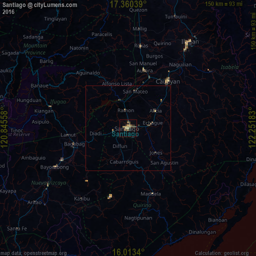
Analysis of Santiago night lights 2016
Square area 10x10 km:
 0%
0%90-99
0%80-89
3.9%70-79
3.46%60-69
1.52%50-59
3.46%40-49
6.06%30-39
1.95%20-29
3.03%10-19
0%0-9
76.62%Square area 50x50 km:
0%90-99
0%80-89
0.17%70-79
0.18%60-69
0.11%50-59
0.22%40-49
0.37%30-39
0.21%20-29
0.32%10-19
0.1%0-9
98.33%Clear (daylight) street map image can be seen on geolist.org.
Map coordinates:
17° 21' 37.4" North, 120° 50' 44.1" East
16° 41' 17.1" North, 121° 32' 55.3" East
16° 0' 48.2" North, 122° 15' 6.6" East
Some cities around Santiago sort by population:
• Ramon
10.8 km =6.7 mi,  352°
352°
• Alicia
18.8 km =11.7 mi,  57°
57°
• Diadi
20.7 km =12.9 mi,  281°
281°
• Echague
13.7 km =8.5 mi,  82°
82°
• Saguday
16.2 km =10.1 mi,  174°
174°
• Batal
5.6 km =3.5 mi,  90°
90°
• Cabarroguis
19.9 km =12.4 mi,  188°
188°
• Soyung
12.5 km =7.8 mi, 83°
1687801 (p: 108,414)
Sources (retrieved 2019-11-25):
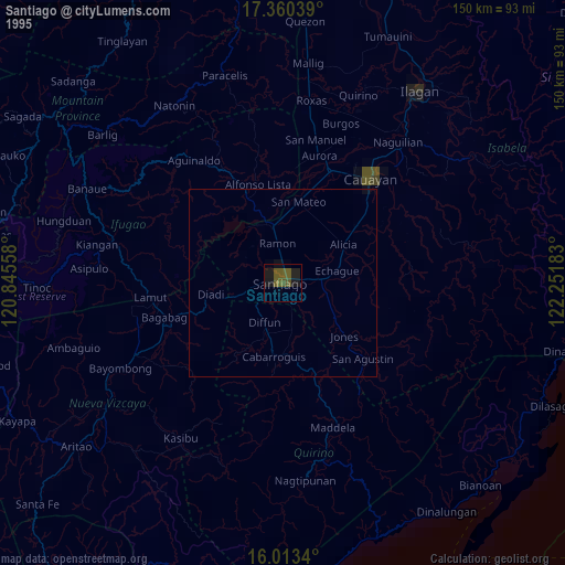
» NASA, Earths city lights 1995
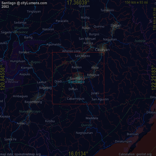
» NASA city lights 2003
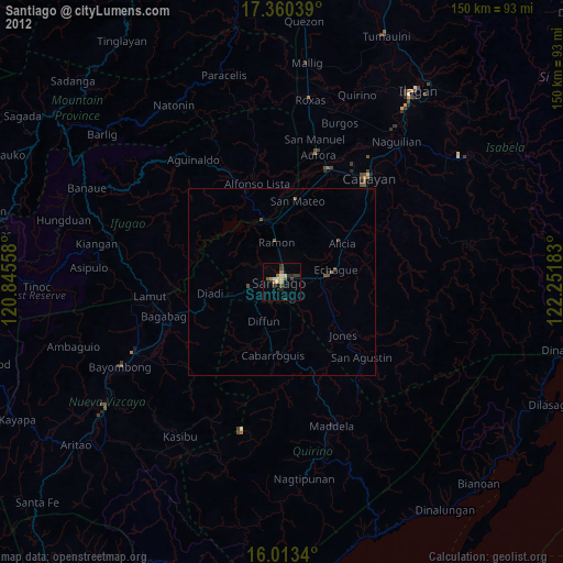
» Earth at Night: Flat Maps 2012, 2016