Alicia night lights from space
Night Light of Alicia (Cagayan Valley) from space (Philippines) Src. Average luminocity for 10x10km area is 1.4372% and for 50x50km: 1.4408%.

Analysis of Alicia night lights 2016
Square area 10x10 km:
 0%
0%90-99
0%80-89
0.43%70-79
0.43%60-69
0%50-59
0%40-49
0%30-39
0%20-29
2.38%10-19
0.22%0-9
96.54%Square area 50x50 km:
0%90-99
0%80-89
0.32%70-79
0.22%60-69
0.19%50-59
0.29%40-49
0.48%30-39
0.36%20-29
0.42%10-19
0.16%0-9
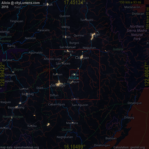
97.56%Clear (daylight) street map image can be seen on geolist.org.
Map coordinates:
17° 27' 4.8" North, 120° 59' 39.2" East
16° 46' 45.7" North, 121° 41' 50.4" East
16° 6' 18" North, 122° 24' 1.7" East
Some cities around Alicia sort by population:
• Santiago
18.8 km =11.7 mi,  237°
237°
• Ramon
17.3 km =10.7 mi,  271°
271°
• San Mateo
16.4 km =10.2 mi,  314°
314°
• Salinungan Proper
13.3 km =8.3 mi,  318°
318°
• Echague
8.6 km =5.3 mi,  195°
195°
• Batal
14.5 km =9 mi,  225°
225°
• Minante Segundo
15.3 km =9.5 mi,  26°
26°
• Soyung
9.4 km =5.8 mi, 201°
1731486 (p: 24,732)
Sources (retrieved 2019-11-25):
» Earth at Night: Flat Maps 2012, 2016