Cabarroguis night lights from space
Night Light of Cabarroguis (Cagayan Valley) from space (Philippines) Src. Average luminocity for 10x10km area is 0.0744% and for 50x50km: 1.0413%.
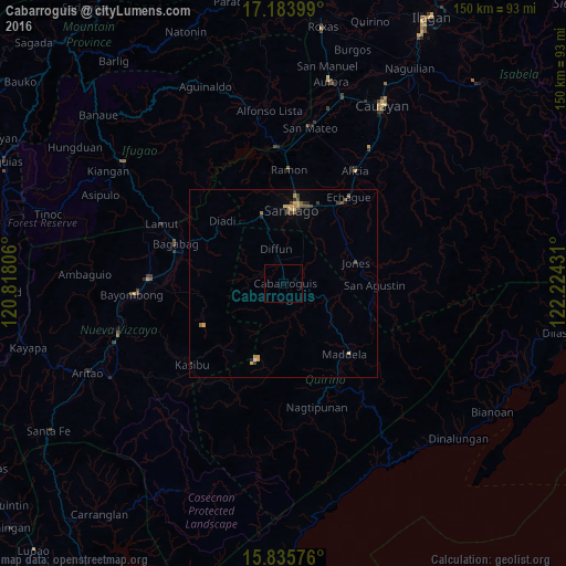
Analysis of Cabarroguis night lights 2016
Square area 10x10 km:
 0%
0%90-99
0%80-89
0%70-79
0%60-69
0%50-59
0%40-49
0%30-39
0%20-29
0%10-19
0%0-9
100%Square area 50x50 km:
0%90-99
0.03%80-89
0.24%70-79
0.21%60-69
0.16%50-59
0.2%40-49
0.34%30-39
0.13%20-29
0.21%10-19
0.05%0-9
98.43%Clear (daylight) street map image can be seen on geolist.org.
Map coordinates:
17° 11' 2.4" North, 120° 49' 5" East
16° 30' 39.8" North, 121° 31' 16.2" East
15° 50' 8.7" North, 122° 13' 27.5" East
Some cities around Cabarroguis sort by population:
• Santiago
19.9 km =12.4 mi,  8°
8°
• Maddela
25.7 km =16 mi,  137°
137°
• Echague
27.2 km =16.9 mi,  37°
37°
• Saguday
5.8 km =3.6 mi,  52°
52°
• Batal
21.4 km =13.3 mi,  23°
23°
• Masaya Sur
24.2 km =15 mi,  92°
92°
• Soyung
26 km =16.2 mi, 36°
• Jones
20 km =12.4 mi,  75°
75°
1721777 (p: 6,974)
Sources (retrieved 2019-11-25):
» Earth at Night: Flat Maps 2012, 2016