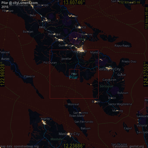
Pilar night lights from space
Night Light of Pilar (Bicol) from space (Philippines) Src. Average luminocity for 10x10km area is 0.2922% and for 50x50km: 0.6063%.
Analysis of Pilar night lights 2016
Square area 10x10 km:
 0%
0%90-99
0%80-89
0%70-79
0%60-69
0%50-59
0%40-49
0%30-39
0.87%20-29
0%10-19
0%0-9
99.13%Square area 50x50 km:
0.03%90-99
0.09%80-89
0.13%70-79
0.09%60-69
0.07%50-59
0%40-49
0.06%30-39
0.07%20-29
0.18%10-19
0.46%0-9
98.83%Clear (daylight) street map image can be seen on geolist.org.
Map coordinates:
13° 36' 26.9" North, 122° 58' 9.4" East
12° 55' 23.2" North, 123° 40' 20.6" East
12° 14' 12.7" North, 124° 22' 31.9" East
Some cities around Pilar sort by population:
• Legaspi
25.4 km =15.8 mi,  16°
16°
• Bangkirohan
16.8 km =10.4 mi,  28°
28°
• Rizal
26.9 km =16.7 mi,  77°
77°
• Sagpon
26.1 km =16.2 mi,  14°
14°
• Daraga
25.4 km =15.8 mi, 9°
• Donsol
8.6 km =5.3 mi,  256°
256°
• Baligang
25.8 km =16 mi,  352°
352°
• Cumadcad
14.2 km =8.8 mi,  63°
63°
1693840 (p: 8,591)
Sources (retrieved 2019-11-25):
» Earth at Night: Flat Maps 2012, 2016