Pasil night lights from space
Night Light of Pasil (Cordillera) from space (Philippines) Src. Average luminocity for 10x10km area is 0% and for 50x50km: 0%.
Analysis of Pasil night lights 2016
Square area 10x10 km:
100  0%
0%
90-99 0%
80-89 0%
70-79 0%
60-69 0%
50-59 0%
40-49 0%
30-39 0%
20-29 0%
10-19 0%
0-9 100%
0%90-99
0%80-89
0%70-79
0%60-69
0%50-59
0%40-49
0%30-39
0%20-29
0%10-19
0%0-9
100%Square area 50x50 km:
100 0%
90-99 0%
80-89 0%
70-79 0%
60-69 0%
50-59 0%
40-49 0%
30-39 0%
20-29 0%
10-19 0%
0-9 100%
0%90-99
0%80-89
0%70-79
0%60-69
0%50-59
0%40-49
0%30-39
0%20-29
0%10-19
0%0-9
100%Clear (daylight) street map image can be seen on geolist.org.
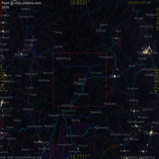
Map coordinates:
18° 3' 11.2" North, 120° 25' 48.8" East
17° 22' 60" North, 121° 7' 60" East
16° 42' 40" North, 121° 50' 11.3" East
Some cities around Pasil sort by population:
• Tabuk
36.9 km =22.9 mi,  74°
74°
• Bontoc
36.9 km =22.9 mi,  206°
206°
• Quezon
50.8 km =31.6 mi,  98°
98°
• Barlig
38.6 km =24 mi,  184°
184°
• Piat
58.2 km =36.2 mi,  38°
38°
• San Jose
55.9 km =34.7 mi,  117°
117°
• Liwan
55 km =34.2 mi, 74°
• Muñoz East
56.8 km =35.3 mi, 116°
1694556 (p: 10,109)
Sources (retrieved 2019-11-25):
» Earth at Night: Flat Maps 2012, 2016