Bontoc night lights from space
Night Light of Bontoc (Cordillera) from space (Philippines) Src. Average luminocity for 10x10km area is 0% and for 50x50km: 0.0482%.
Analysis of Bontoc night lights 2016
Square area 10x10 km:
 0%
0%90-99
0%80-89
0%70-79
0%60-69
0%50-59
0%40-49
0%30-39
0%20-29
0%10-19
0%0-9
100%Square area 50x50 km:
0%90-99
0%80-89
0%70-79
0.02%60-69
0.02%50-59
0%40-49
0.01%30-39
0.04%20-29
0%10-19
0.03%0-9
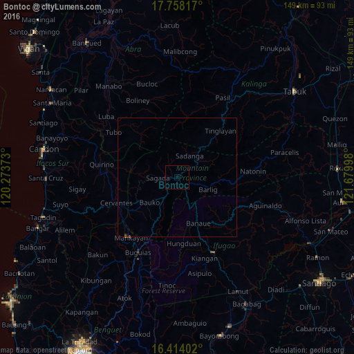
99.89%Clear (daylight) street map image can be seen on geolist.org.
Map coordinates:
17° 45' 29.4" North, 120° 16' 25.4" East
17° 5' 14.3" North, 120° 58' 36.7" East
16° 24' 50.5" North, 121° 40' 47.9" East
Some cities around Bontoc sort by population:
• Mankayan
32.3 km =20.1 mi,  219°
219°
• Baculongan
35.4 km =22 mi,  205°
205°
• Suyo
49.6 km =30.8 mi,  255°
255°
• Pasil
36.9 km =22.9 mi,  26°
26°
• Lagawe
35.4 km =22 mi,  154°
154°
• Buguias
43.5 km =27 mi,  201°
201°
• Barlig
14.6 km =9.1 mi,  112°
112°
• Monamon
24.8 km =15.4 mi, 203°
1723983 (p: 10,440)
Sources (retrieved 2019-11-25):
» Earth at Night: Flat Maps 2012, 2016