Nagtipunan night lights from space
Night Light of Nagtipunan (Cagayan Valley) from space (Philippines) Src. Average luminocity for 10x10km area is 0% and for 50x50km: 0.2078%.
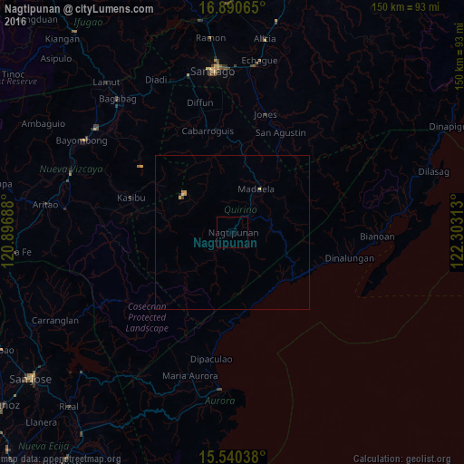
Analysis of Nagtipunan night lights 2016
Square area 10x10 km:
 0%
0%90-99
0%80-89
0%70-79
0%60-69
0%50-59
0%40-49
0%30-39
0%20-29
0%10-19
0%0-9
100%Square area 50x50 km:
0%90-99
0.03%80-89
0.08%70-79
0.05%60-69
0.03%50-59
0%40-49
0.03%30-39
0%20-29
0.03%10-19
0%0-9
99.74%Clear (daylight) street map image can be seen on geolist.org.
Map coordinates:
16° 53' 26.3" North, 120° 53' 48.8" East
16° 13' 0" North, 121° 36' 0" East
15° 32' 25.4" North, 122° 18' 11.3" East
Some cities around Nagtipunan sort by population:
• Maddela
16.6 km =10.3 mi,  33°
33°
• Saguday
36.5 km =22.7 mi,  353°
353°
• Cabarroguis
33.8 km =21 mi, 345°
• Maria Aurora
48.6 km =30.2 mi,  196°
196°
• Suklayin
51.3 km =31.9 mi,  185°
185°
• Masaya Sur
35.2 km =21.9 mi, 26°
• Jones
39.4 km =24.5 mi,  16°
16°
• Quezon
47.5 km =29.5 mi,  311°
311°
1698621 (p: 5,682)
Sources (retrieved 2019-11-25):
» Earth at Night: Flat Maps 2012, 2016