Matlang night lights from space
Night Light of Matlang (Eastern Visayas) from space (Philippines) Src. Average luminocity for 10x10km area is 9.2987% and for 50x50km: 1.524%.
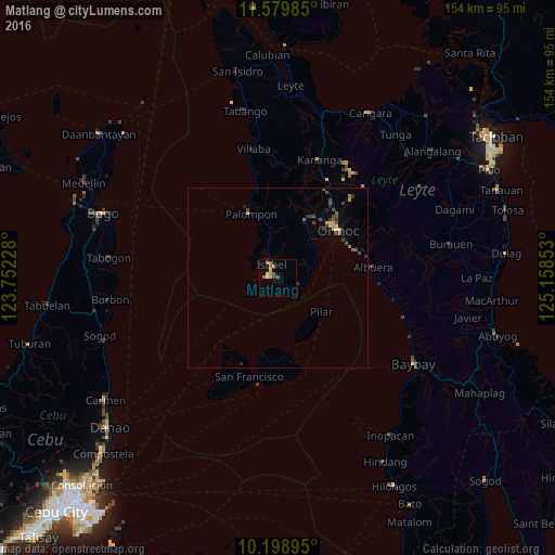
Analysis of Matlang night lights 2016
Square area 10x10 km:
 0.43%
0.43%90-99
1.3%80-89
1.73%70-79
2.38%60-69
1.95%50-59
0.87%40-49
2.16%30-39
0.87%20-29
0%10-19
0.22%0-9
88.1%Square area 50x50 km:
0.04%90-99
0.06%80-89
0.23%70-79
0.27%60-69
0.17%50-59
0.26%40-49
0.56%30-39
0.32%20-29
0.18%10-19
0.25%0-9
97.66%Clear (daylight) street map image can be seen on geolist.org.
Map coordinates:
11° 34' 47.5" North, 123° 45' 8.2" East
10° 53' 24.7" North, 124° 27' 19.4" East
10° 11' 56.2" North, 125° 9' 30.7" East
Some cities around Matlang sort by population:
• Ormoc
21 km =13 mi,  52°
52°
• Baybay
44.4 km =27.6 mi,  121°
121°
• Palompon
19.5 km =12.1 mi,  336°
336°
• San Francisco
28.3 km =17.6 mi,  196°
196°
• Isabel
4.7 km =2.9 mi,  330°
330°
• Kananya
34.9 km =21.7 mi,  19°
19°
• Balogo
27.9 km =17.3 mi,  90°
90°
• Esperanza
26.2 km =16.3 mi,  216°
216°
1700276 (p: 5,840)
Sources (retrieved 2019-11-25):
» Earth at Night: Flat Maps 2012, 2016