Mambajao night lights from space
Night Light of Mambajao (Northern Mindanao) from space (Philippines) Src. Average luminocity for 10x10km area is 0.7576% and for 50x50km: 0.0302%.
Analysis of Mambajao night lights 2016
Square area 10x10 km:
 0%
0%90-99
0%80-89
0%70-79
0%60-69
0%50-59
0%40-49
0%30-39
0.87%20-29
1.3%10-19
0.43%0-9
97.4%Square area 50x50 km:
0%90-99
0%80-89
0%70-79
0%60-69
0%50-59
0%40-49
0%30-39
0.03%20-29
0.05%10-19
0.02%0-9
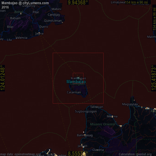
99.9%Clear (daylight) street map image can be seen on geolist.org.
Map coordinates:
9° 56' 37.2" North, 124° 0' 44.9" East
9° 15' 1.4" North, 124° 42' 56.2" East
8° 33' 20.7" North, 125° 25' 7.4" East
Some cities around Mambajao sort by population:
• Mariano
64 km =39.8 mi,  136°
136°
• Jagna
58.7 km =36.5 mi,  319°
319°
• Balingasag
56.7 km =35.2 mi,  173°
173°
• Medina
50.6 km =31.4 mi, 137°
• Lagonglong
50 km =31.1 mi, 170°
• Lunao
58.1 km =36.1 mi, 139°
• Salay
44.2 km =27.5 mi, 169°
• Binuangan
38.1 km =23.7 mi, 167°
1702348 (p: 10,058)
Sources (retrieved 2019-11-25):
» Earth at Night: Flat Maps 2012, 2016