Anonang night lights from space
Night Light of Anonang (Central Visayas) from space (Philippines) Src. Average luminocity for 10x10km area is 1.7532% and for 50x50km: 0.5136%.
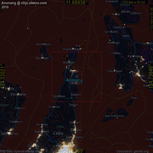
Analysis of Anonang night lights 2016
Square area 10x10 km:
 0%
0%90-99
0%80-89
0%70-79
0%60-69
0%50-59
0%40-49
1.08%30-39
1.73%20-29
1.52%10-19
0%0-9
95.67%Square area 50x50 km:
0%90-99
0.02%80-89
0.04%70-79
0.02%60-69
0.03%50-59
0.1%40-49
0.16%30-39
0.31%20-29
0.37%10-19
0.21%0-9
98.74%Clear (daylight) street map image can be seen on geolist.org.
Map coordinates:
11° 41' 21.8" North, 123° 19' 48.8" East
11° 0' 0" North, 124° 1' 60" East
10° 18' 32.4" North, 124° 44' 11.3" East
Some cities around Anonang sort by population:
• Bogo
6.5 km =4 mi,  332°
332°
• Daanbantayan
27.5 km =17.1 mi,  355°
355°
• Medellin
16.3 km =10.1 mi, 331°
• Tapilon
30.8 km =19.1 mi, 359°
• Maya
30.6 km =19 mi,  4°
4°
• Cayang
9.2 km =5.7 mi,  323°
323°
• Kauit
22.8 km =14.2 mi,  335°
335°
• Nailong
6 km =3.7 mi,  5°
5°
1730579 (p: 5,660)
Sources (retrieved 2019-11-25):
» Earth at Night: Flat Maps 2012, 2016