Kampokpok night lights from space
Night Light of Kampokpok (Eastern Visayas) from space (Philippines) Src. Average luminocity for 10x10km area is 0.5303% and for 50x50km: 0.4166%.
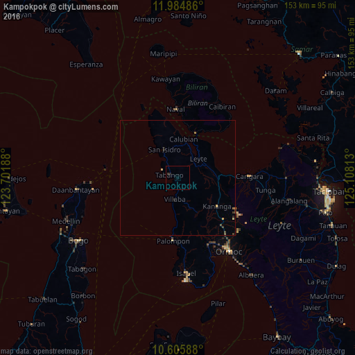
Analysis of Kampokpok night lights 2016
Square area 10x10 km:
 0%
0%90-99
0%80-89
0%70-79
0%60-69
0%50-59
0%40-49
0%30-39
0.87%20-29
0.87%10-19
0%0-9
98.27%Square area 50x50 km:
0%90-99
0%80-89
0.07%70-79
0.08%60-69
0.07%50-59
0.06%40-49
0.14%30-39
0.07%20-29
0.14%10-19
0.05%0-9
99.32%Clear (daylight) street map image can be seen on geolist.org.
Map coordinates:
11° 59' 5.5" North, 123° 42' 6.8" East
11° 17' 46.3" North, 124° 24' 18" East
10° 36' 21.2" North, 125° 6' 29.3" East
Some cities around Kampokpok sort by population:
• Carigara
29.9 km =18.6 mi,  89°
89°
• Naval
29.4 km =18.3 mi,  358°
358°
• Palompon
27.4 km =17 mi,  184°
184°
• Capoocan
25.8 km =16 mi, 90°
• Kananya
20.8 km =12.9 mi,  125°
125°
• Leyte
11.5 km =7.1 mi,  47°
47°
• Caibiran
36.2 km =22.5 mi,  32°
32°
• Tabango
3.7 km =2.3 mi,  290°
290°
1709478 (p: 5,688)
Sources (retrieved 2019-11-25):
» Earth at Night: Flat Maps 2012, 2016