Tabango night lights from space
Night Light of Tabango (Eastern Visayas) from space (Philippines) Src. Average luminocity for 10x10km area is 1.2987% and for 50x50km: 0.2242%.
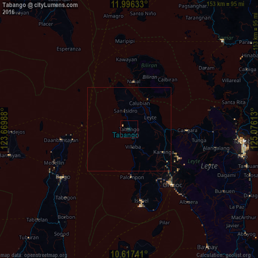
Analysis of Tabango night lights 2016
Square area 10x10 km:
 0%
0%90-99
0%80-89
0.87%70-79
0%60-69
0%50-59
0%40-49
0%30-39
0.87%20-29
0.87%10-19
0%0-9
97.4%Square area 50x50 km:
0%90-99
0%80-89
0.03%70-79
0.07%60-69
0.03%50-59
0.01%40-49
0.08%30-39
0.03%20-29
0.1%10-19
0.03%0-9
99.61%Clear (daylight) street map image can be seen on geolist.org.
Map coordinates:
11° 59' 46.8" North, 123° 40' 11.6" East
11° 18' 27.7" North, 124° 22' 22.8" East
10° 37' 2.7" North, 125° 4' 34.1" East
Some cities around Tabango sort by population:
• Carigara
33.4 km =20.8 mi,  91°
91°
• Naval
28.2 km =17.5 mi,  5°
5°
• Palompon
28.6 km =17.8 mi,  177°
177°
• Capoocan
29.4 km =18.3 mi, 93°
• Kananya
24.4 km =15.2 mi,  123°
123°
• Maya
34.8 km =21.6 mi,  263°
263°
• Leyte
13.6 km =8.5 mi,  61°
61°
• Kampokpok
3.7 km =2.3 mi,  110°
110°
1685071 (p: 5,806)
Sources (retrieved 2019-11-25):
» Earth at Night: Flat Maps 2012, 2016