Guihulñgan night lights from space
Night Light of Guihulñgan (Central Visayas) from space (Philippines) Src. Average luminocity for 10x10km area is 1.2748% and for 50x50km: 0.1902%.
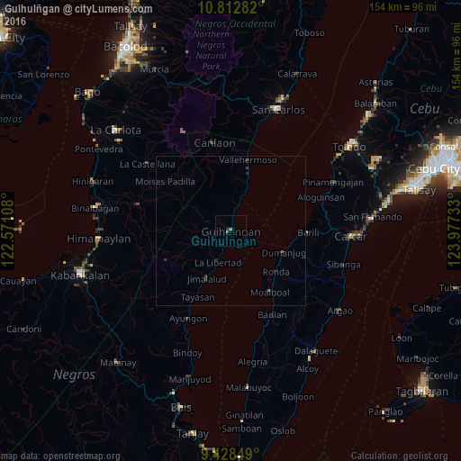
Analysis of Guihulñgan night lights 2016
Square area 10x10 km:
 0%
0%90-99
0%80-89
0%70-79
0.41%60-69
0.41%50-59
0.83%40-49
0%30-39
0%20-29
0.83%10-19
0%0-9
97.52%Square area 50x50 km:
0%90-99
0%80-89
0%70-79
0.02%60-69
0.05%50-59
0.07%40-49
0%30-39
0.1%20-29
0.19%10-19
0.03%0-9
99.55%Clear (daylight) street map image can be seen on geolist.org.
Map coordinates:
10° 48' 46.2" North, 122° 34' 15.9" East
10° 7' 17" North, 123° 16' 27.1" East
9° 25' 42.6" North, 123° 58' 38.4" East
Some cities around Guihulñgan sort by population:
• Vallehermoso
24.4 km =15.2 mi,  13°
13°
• Barili
25.9 km =16.1 mi,  91°
91°
• Cabacungan
27.3 km =17 mi,  325°
325°
• Malaiba
24 km =14.9 mi, 11°
• Moalboal
24.1 km =15 mi,  145°
145°
• La Libertad
11.4 km =7.1 mi,  202°
202°
• Tapon
19.8 km =12.3 mi,  109°
109°
• Hibaiyo
17.6 km =10.9 mi,  16°
16°
1712520 (p: 22,931)
Sources (retrieved 2019-11-25):
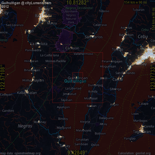
» Earth at Night: Flat Maps 2012, 2016