Gamu night lights from space
Night Light of Gamu (Cagayan Valley) from space (Philippines) Src. Average luminocity for 10x10km area is 0.5693% and for 50x50km: 1.1186%.
Analysis of Gamu night lights 2016
Square area 10x10 km:
 0%
0%90-99
0%80-89
0%70-79
0%60-69
0%50-59
0%40-49
0.43%30-39
0%20-29
0.43%10-19
0.22%0-9
98.92%Square area 50x50 km:
0%90-99
0%80-89
0.26%70-79
0.26%60-69
0.14%50-59
0.23%40-49
0.24%30-39
0.29%20-29
0.21%10-19
0.28%0-9
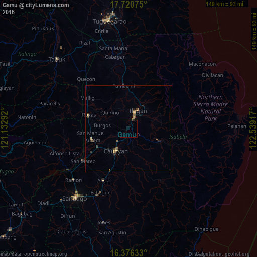
98.08%Clear (daylight) street map image can be seen on geolist.org.
Map coordinates:
17° 43' 14.7" North, 121° 7' 58.5" East
17° 2' 59.1" North, 121° 50' 9.7" East
16° 22' 34.8" North, 122° 32' 21" East
Some cities around Gamu sort by population:
• Ilagan
12.4 km =7.7 mi,  27°
27°
• San Mariano
20.3 km =12.6 mi,  111°
111°
• San Manuel
21.5 km =13.4 mi,  262°
262°
• Naguilian
3 km =1.9 mi,  177°
177°
• Minante Segundo
18.2 km =11.3 mi,  205°
205°
• Burgos
14.9 km =9.3 mi,  287°
287°
• Reina Mercedes
7.2 km =4.5 mi,  187°
187°
• Upi
3.7 km =2.3 mi,  357°
357°
1713288 (p: 5,545)
Sources (retrieved 2019-11-25):
» Earth at Night: Flat Maps 2012, 2016