San Manuel night lights from space
Night Light of San Manuel (Cagayan Valley) from space (Philippines) Src. Average luminocity for 10x10km area is 2.9307% and for 50x50km: 0.9264%.
Analysis of San Manuel night lights 2016
Square area 10x10 km:
 0%
0%90-99
0%80-89
1.73%70-79
0%60-69
0%50-59
0.22%40-49
1.52%30-39
0.22%20-29
1.3%10-19
0.22%0-9
94.81%Square area 50x50 km:
0%90-99
0%80-89
0.22%70-79
0.19%60-69
0.13%50-59
0.19%40-49
0.25%30-39
0.25%20-29
0.22%10-19
0.18%0-9
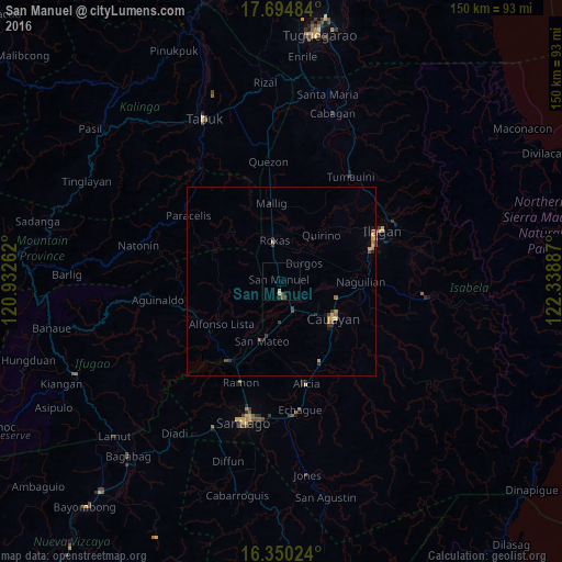
98.39%Clear (daylight) street map image can be seen on geolist.org.
Map coordinates:
17° 41' 41.4" North, 120° 55' 57.4" East
17° 1' 25.5" North, 121° 38' 8.7" East
16° 21' 0.9" North, 122° 20' 19.9" East
Some cities around San Manuel sort by population:
• Roxas
10.7 km =6.6 mi,  351°
351°
• Salinungan Proper
17.3 km =10.7 mi,  187°
187°
• Minante Segundo
19 km =11.8 mi,  135°
135°
• Burgos
10.2 km =6.3 mi,  44°
44°
• Reina Mercedes
20.7 km =12.9 mi,  101°
101°
• Sinamar
15.6 km =9.7 mi,  208°
208°
• San Jose
14.5 km =9 mi,  344°
344°
• Muñoz East
15.1 km =9.4 mi, 350°
1689106 (p: 9,865)
Sources (retrieved 2019-11-25):
» Earth at Night: Flat Maps 2012, 2016