Ilagan night lights from space
Night Light of Ilagan (Cagayan Valley) from space (Philippines) Src. Average luminocity for 10x10km area is 9.7045% and for 50x50km: 0.8376%.
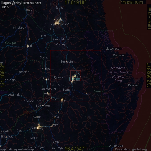
Analysis of Ilagan night lights 2016
Square area 10x10 km:
 0%
0%90-99
0%80-89
1.86%70-79
3.93%60-69
0%50-59
3.72%40-49
1.24%30-39
1.65%20-29
0%10-19
2.48%0-9
85.12%Square area 50x50 km:
0%90-99
0%80-89
0.19%70-79
0.2%60-69
0.13%50-59
0.21%40-49
0.17%30-39
0.14%20-29
0.11%10-19
0.25%0-9
98.6%Clear (daylight) street map image can be seen on geolist.org.
Map coordinates:
17° 49' 9" North, 121° 11' 10" East
17° 8' 54.7" North, 121° 53' 21.3" East
16° 28' 31.7" North, 122° 35' 32.5" East
Some cities around Ilagan sort by population:
• Roxas
28.8 km =17.9 mi,  263°
263°
• San Mariano
22.7 km =14.1 mi,  144°
144°
• Naguilian
15 km =9.3 mi,  201°
201°
• Burgos
20.9 km =13 mi,  251°
251°
• Reina Mercedes
19.3 km =12 mi, 200°
• Upi
9.4 km =5.8 mi,  218°
218°
• Gamu
12.4 km =7.7 mi,  207°
207°
• Muñoz East
29.3 km =18.2 mi,  271°
271°
1711146 (p: 72,363)
Sources (retrieved 2019-11-25):
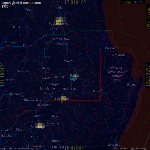
» NASA, Earths city lights 1995
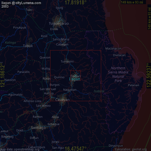
» NASA city lights 2003
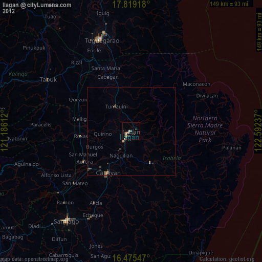
» Earth at Night: Flat Maps 2012, 2016