Dahay night lights from space
Night Light of Dahay (Soccsksargen) from space (Philippines) Src. Average luminocity for 10x10km area is 1.026% and for 50x50km: 0.8451%.
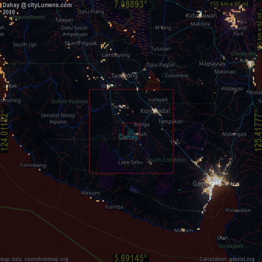
Analysis of Dahay night lights 2016
Square area 10x10 km:
 0%
0%90-99
0%80-89
0%70-79
0%60-69
0%50-59
0.87%40-49
0.43%30-39
0.43%20-29
0%10-19
0.65%0-9
97.62%Square area 50x50 km:
0.01%90-99
0.11%80-89
0.12%70-79
0.12%60-69
0.13%50-59
0.17%40-49
0.17%30-39
0.17%20-29
0.27%10-19
0.08%0-9
98.64%Clear (daylight) street map image can be seen on geolist.org.
Map coordinates:
7° 5' 20.1" North, 124° 0' 41.5" East
6° 23' 26.4" North, 124° 42' 52.7" East
5° 41' 29.2" North, 125° 25' 4" East
Some cities around Dahay sort by population:
• Koronadal
19.2 km =11.9 mi,  49°
49°
• Bañga
7.9 km =4.9 mi,  62°
62°
• Surallah
3.8 km =2.4 mi,  116°
116°
• Lake Sebu
18.4 km =11.4 mi,  181°
181°
• Norala
15.9 km =9.9 mi,  337°
337°
• Santo Niño
5.3 km =3.3 mi, 338°
• Lamba
12.5 km =7.8 mi,  111°
111°
• Lopez Jaena
9.6 km =6 mi,  349°
349°
1716184 (p: 7,567)
Sources (retrieved 2019-11-25):
» Earth at Night: Flat Maps 2012, 2016