Candelaria night lights from space
Night Light of Candelaria (Calabarzon) from space (Philippines) Src. Average luminocity for 10x10km area is 9.9318% and for 50x50km: 6.2982%.
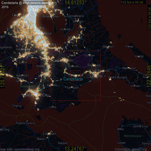
Analysis of Candelaria night lights 2016
Square area 10x10 km:
 0%
0%90-99
0%80-89
0.62%70-79
2.69%60-69
2.48%50-59
1.45%40-49
2.07%30-39
4.13%20-29
1.24%10-19
3.31%0-9
82.02%Square area 50x50 km:
0.05%90-99
0.06%80-89
0.5%70-79
1.72%60-69
1.07%50-59
0.75%40-49
1.24%30-39
1.62%20-29
1.11%10-19
6.61%0-9
85.27%Clear (daylight) street map image can be seen on geolist.org.
Map coordinates:
14° 36' 45.1" North, 120° 43' 12.8" East
13° 55' 52" North, 121° 25' 24" East
13° 14' 51.6" North, 122° 7' 35.3" East
Some cities around Candelaria sort by population:
• Concepcion Ibaba
4.2 km =2.6 mi,  102°
102°
• Bignay Uno
10.2 km =6.3 mi,  136°
136°
• Malabanban Norte
1.8 km =1.1 mi,  26°
26°
• Lusacan
8.9 km =5.5 mi,  287°
287°
• Masalukot Uno
2.7 km =1.7 mi,  349°
349°
• Santa Catalina Sur
6.4 km =4 mi,  172°
172°
• Santa Catalina Norte
9.8 km =6.1 mi,  226°
226°
• Janagdong
10.2 km =6.3 mi,  107°
107°
1719274 (p: 60,881)
Sources (retrieved 2019-11-25):
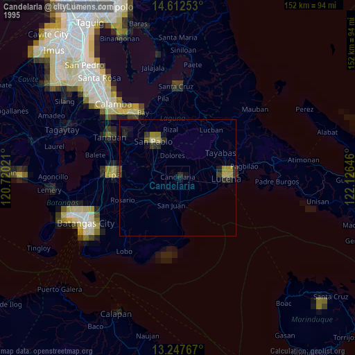
» NASA, Earths city lights 1995
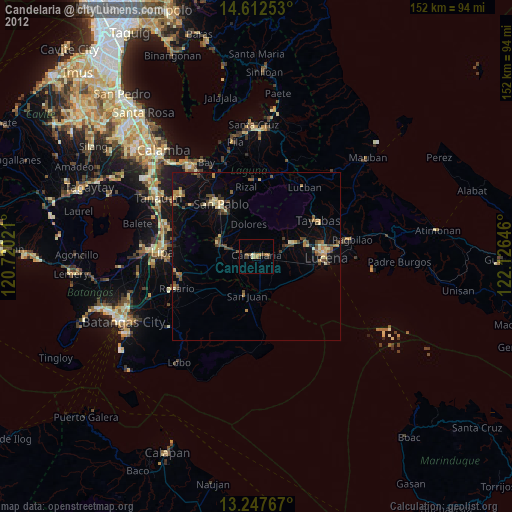
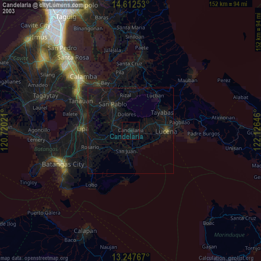
» NASA city lights 2003
» Earth at Night: Flat Maps 2012, 2016