San Mateo night lights from space
Night Light of San Mateo (Cagayan Valley) from space (Philippines) Src. Average luminocity for 10x10km area is 0.9675% and for 50x50km: 1.4458%.
Analysis of San Mateo night lights 2016
Square area 10x10 km:
 0%
0%90-99
0%80-89
0%70-79
0%60-69
0%50-59
0%40-49
0.65%30-39
1.3%20-29
0.22%10-19
0.65%0-9
97.19%Square area 50x50 km:
0%90-99
0%80-89
0.33%70-79
0.22%60-69
0.21%50-59
0.29%40-49
0.47%30-39
0.34%20-29
0.43%10-19
0.16%0-9
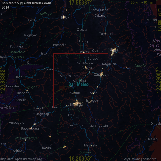
97.55%Clear (daylight) street map image can be seen on geolist.org.
Map coordinates:
17° 33' 13.2" North, 120° 53' 1.8" East
16° 52' 55.4" North, 121° 35' 13" East
16° 12' 29" North, 122° 17' 24.3" East
Some cities around San Mateo sort by population:
• Ramon
12.2 km =7.6 mi,  206°
206°
• Alicia
16.4 km =10.2 mi,  134°
134°
• Salinungan Proper
3.3 km =2.1 mi,  116°
116°
• Echague
21.9 km =13.6 mi,  154°
154°
• Batal
21.7 km =13.5 mi,  176°
176°
• Minante Segundo
18.7 km =11.6 mi,  83°
83°
• Sinamar
2.9 km =1.8 mi,  312°
312°
• Soyung
21.9 km =13.6 mi,  157°
157°
1689052 (p: 16,233)
Sources (retrieved 2019-11-25):
» Earth at Night: Flat Maps 2012, 2016