Lillesand night lights from space
Night Light of Lillesand (Aust-Agder) from space (Norway) Src. Average luminocity for 10x10km area is 13.9545% and for 50x50km: 7.4133%.
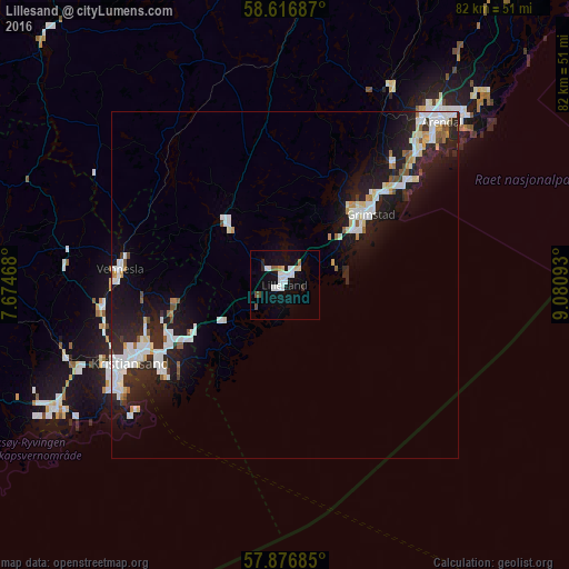
Analysis of Lillesand night lights 2016
Square area 10x10 km:
 4.22%
4.22%90-99
2.81%80-89
1.19%70-79
0.43%60-69
0.54%50-59
0.76%40-49
1.3%30-39
0.11%20-29
1.19%10-19
11.04%0-9
76.41%Square area 50x50 km:
1.73%90-99
1.82%80-89
0.58%70-79
0.47%60-69
0.34%50-59
0.61%40-49
0.36%30-39
0.36%20-29
2.79%10-19
6.76%0-9
84.18%Clear (daylight) street map image can be seen on geolist.org.
Map coordinates:
58° 37' 0.7" North, 7° 40' 28.8" East
58° 14' 55.6" North, 8° 22' 40.1" East
57° 52' 36.7" North, 9° 4' 51.3" East
Some cities around Lillesand sort by population:
• Kristiansand
25.1 km =15.6 mi,  243°
243°
• Arendal
33 km =20.5 mi,  44°
44°
• Vennesla
23.8 km =14.8 mi,  275°
275°
• Mandal
59.6 km =37 mi,  245°
245°
• Grimstad
16.2 km =10.1 mi,  51°
51°
• Søgne
38.9 km =24.2 mi, 243°
• Flekkefjord
100.5 km =62.4 mi,  273°
273°
• Kragerø
91.5 km =56.9 mi, 41°
3147467 (p: 6,081)
Sources (retrieved 2019-11-25):
» Earth at Night: Flat Maps 2012, 2016