Arendal night lights from space
Night Light of Arendal (Aust-Agder) from space (Norway) Src. Average luminocity for 10x10km area is 47.5703% and for 50x50km: 5.3236%.
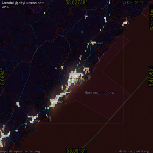
Analysis of Arendal night lights 2016
Square area 10x10 km:
 10.09%
90-99
15.19%80-89
5.44%70-79
2.61%60-69
3.51%50-59
5.33%40-49
1.81%30-39
3.06%20-29
21.2%10-19
26.3%0-9
5.44%Square area 50x50 km:
0.95%90-99
1.16%80-89
0.62%70-79
0.37%60-69
0.36%50-59
0.6%40-49
0.3%30-39
0.24%20-29
1.82%10-19
5.38%0-9
88.21%Clear (daylight) street map image can be seen on geolist.org.
Map coordinates:
58° 49' 38.6" North, 8° 4' 9.8" East
58° 27' 41.4" North, 8° 46' 21.1" East
58° 5' 30.5" North, 9° 28' 32.3" East
Some cities around Arendal sort by population:
• Kristiansand
57.3 km =35.6 mi,  232°
232°
• Porsgrunn
91 km =56.5 mi,  33°
33°
• Vennesla
51.3 km =31.9 mi,  245°
245°
• Mandal
91 km =56.5 mi,  237°
237°
• Grimstad
17 km =10.6 mi,  217°
217°
• Søgne
70.9 km =44.1 mi, 234°
• Lillesand
33 km =20.5 mi, 224°
• Kragerø
58.6 km =36.4 mi,  39°
39°
3162955 (p: 30,916)
Sources (retrieved 2019-11-25):
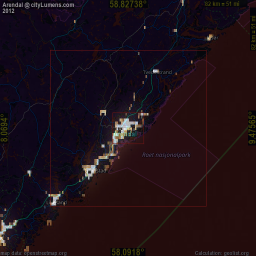
» Earth at Night: Flat Maps 2012, 2016