Bryne night lights from space
Night Light of Bryne (Rogaland) from space (Norway) Src. Average luminocity for 10x10km area is 31.0091% and for 50x50km: 9.782%.
Analysis of Bryne night lights 2016
Square area 10x10 km:
 5.44%
5.44%90-99
7.48%80-89
2.49%70-79
0.34%60-69
2.61%50-59
4.99%40-49
0.91%30-39
0.23%20-29
15.87%10-19
46.03%0-9
13.61%Square area 50x50 km:
2.66%90-99
2.44%80-89
0.72%70-79
0.55%60-69
0.7%50-59
0.77%40-49
1.09%30-39
1.01%20-29
2.78%10-19
5.43%0-9
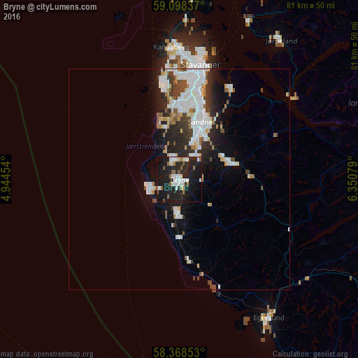
81.84%Clear (daylight) street map image can be seen on geolist.org.
Map coordinates:
59° 5' 54.1" North, 4° 56' 40.3" East
58° 44' 7.3" North, 5° 38' 51.6" East
58° 22' 6.7" North, 6° 21' 2.8" East
Some cities around Bryne sort by population:
• Stavanger
26.6 km =16.5 mi,  10°
10°
• Sandnes
14 km =8.7 mi,  21°
21°
• Egersund
37.6 km =23.4 mi,  147°
147°
• Kopervik
64 km =39.8 mi,  342°
342°
• Tananger
22.7 km =14.1 mi,  349°
349°
• Hommersåk
24.2 km =15 mi,  28°
28°
• Jørpeland
39.1 km =24.3 mi,  35°
35°
• Åkrehamn
64.1 km =39.8 mi, 335°
3159822 (p: 8,006)
Sources (retrieved 2019-11-25):
» Earth at Night: Flat Maps 2012, 2016