Lelystad night lights from space
Night Light of Lelystad (Flevoland) from space (Netherlands) Src. Average luminocity for 10x10km area is 31.9008% and for 50x50km: 10.1489%.
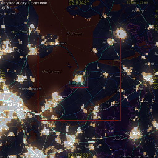
Analysis of Lelystad night lights 2016
Square area 10x10 km:
 5.42%
5.42%90-99
5.82%80-89
5.69%70-79
5.16%60-69
4.37%50-59
1.46%40-49
0.93%30-39
1.72%20-29
5.03%10-19
34.92%0-9
29.5%Square area 50x50 km:
1.13%90-99
2%80-89
0.93%70-79
1.4%60-69
1.44%50-59
0.99%40-49
1.04%30-39
1.11%20-29
2.98%10-19
8.82%0-9
78.16%Clear (daylight) street map image can be seen on geolist.org.
Map coordinates:
52° 56' 3.1" North, 4° 46' 18.7" East
52° 30' 30" North, 5° 28' 30" East
52° 4' 41.8" North, 6° 10' 41.2" East
Some cities around Lelystad sort by population:
• Almere Stad
23.4 km =14.5 mi,  229°
229°
• Harderwijk
21 km =13 mi,  151°
151°
• Dronten
16.6 km =10.3 mi,  83°
83°
• Zeewolde
20.3 km =12.6 mi,  167°
167°
• Enkhuizen
25 km =15.5 mi,  330°
330°
• Urk
19.2 km =11.9 mi,  26°
26°
• Ermelo
25.4 km =15.8 mi,  156°
156°
• Biddinghuizen
15.9 km =9.9 mi,  111°
111°
2751738 (p: 70,741)
Sources (retrieved 2019-11-25):
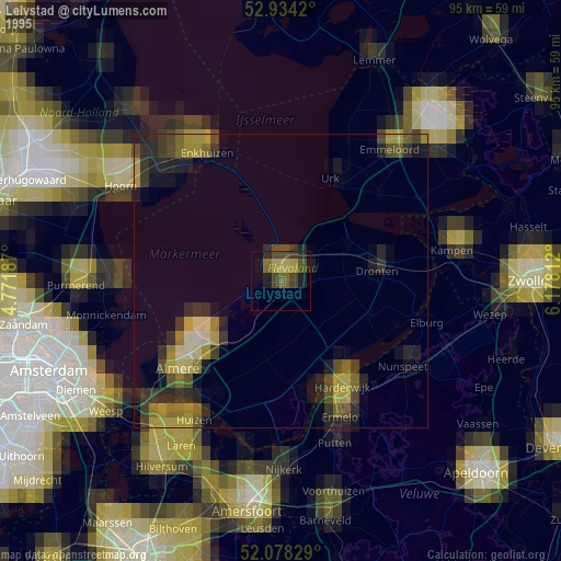
» NASA, Earths city lights 1995
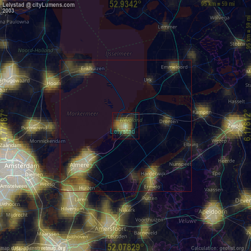
» NASA city lights 2003
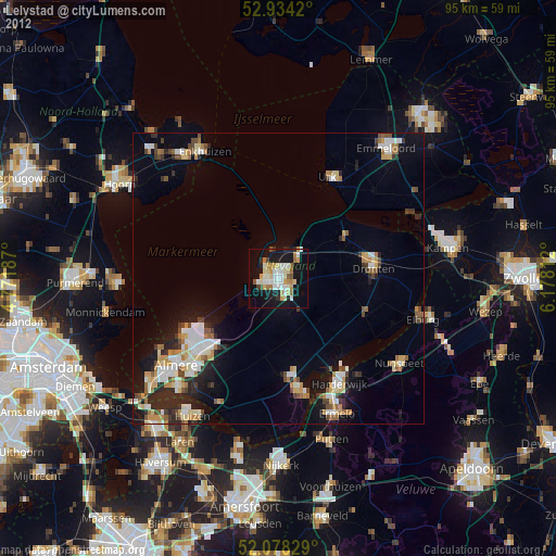
» Earth at Night: Flat Maps 2012, 2016