Jinotega night lights from space
Night Light of Jinotega from space (Nicaragua) Src. Average luminocity for 10x10km area is 6.7511% and for 50x50km: 1.3133%.
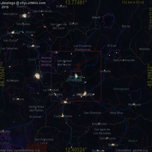
Analysis of Jinotega night lights 2016
Square area 10x10 km:
 0%
0%90-99
2.16%80-89
0.43%70-79
2.38%60-69
0.87%50-59
0.22%40-49
0%30-39
1.73%20-29
0.87%10-19
0%0-9
91.34%Square area 50x50 km:
0.03%90-99
0.13%80-89
0.12%70-79
0.29%60-69
0.28%50-59
0.18%40-49
0.29%30-39
0.36%20-29
0.14%10-19
0.12%0-9
98.07%Clear (daylight) street map image can be seen on geolist.org.
Map coordinates:
13° 46' 29.7" North, 86° 42' 19.7" West
13° 5' 27.7" North, 86° 0' 8.4" West
12° 24' 18.9" North, 85° 17' 57.2" West
Some cities around Jinotega sort by population:
• Matagalpa
20.6 km =12.8 mi,  153°
153°
• Estelí
38.1 km =23.7 mi,  270°
270°
• Quilalí
53 km =32.9 mi,  357°
357°
• Ciudad Darío
42.1 km =26.2 mi,  198°
198°
• El Sauce
62.4 km =38.8 mi,  248°
248°
• Condega
52.6 km =32.7 mi,  305°
305°
• Las Praderas
18.7 km =11.6 mi,  61°
61°
• San Rafael del Norte
17.9 km =11.1 mi,  318°
318°
3618929 (p: 55,000)
Sources (retrieved 2019-11-25):
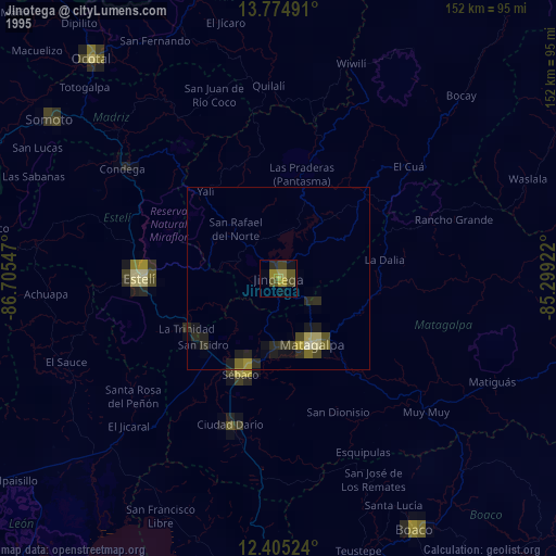
» NASA, Earths city lights 1995
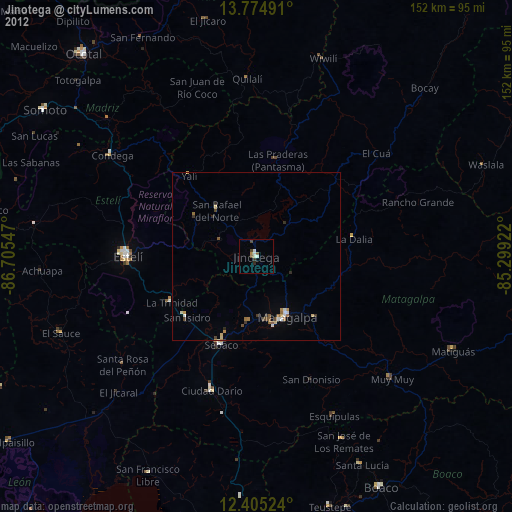
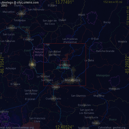
» NASA city lights 2003
» Earth at Night: Flat Maps 2012, 2016