El Sauce night lights from space
Night Light of El Sauce (León) from space (Nicaragua) Src. Average luminocity for 10x10km area is 1.3377% and for 50x50km: 1.0496%.
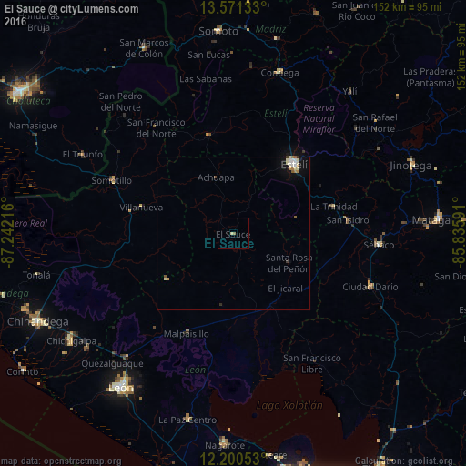
Analysis of El Sauce night lights 2016
Square area 10x10 km:
 0%
0%90-99
0%80-89
0.87%70-79
0%60-69
0%50-59
0.87%40-49
0%30-39
0%20-29
0%10-19
0%0-9
98.27%Square area 50x50 km:
0.12%90-99
0.3%80-89
0.18%70-79
0.05%60-69
0.17%50-59
0.14%40-49
0.04%30-39
0.08%20-29
0.03%10-19
0.5%0-9
98.39%Clear (daylight) street map image can be seen on geolist.org.
Map coordinates:
13° 34' 16.8" North, 87° 14' 31.8" West
12° 53' 12.7" North, 86° 32' 20.5" West
12° 12' 1.9" North, 85° 50' 9.3" West
Some cities around El Sauce sort by population:
• Estelí
30.4 km =18.9 mi,  41°
41°
• Somotillo
43.3 km =26.9 mi,  293°
293°
• Ciudad Darío
48.2 km =30 mi,  111°
111°
• Condega
55.3 km =34.4 mi,  15°
15°
• Telica
53.4 km =33.2 mi,  220°
220°
• Larreynaga
23.6 km =14.7 mi,  188°
188°
• El Triunfo, HN
56.1 km =34.9 mi,  297°
297°
• San Rafael del Norte
58.8 km =36.5 mi,  52°
52°
3619382 (p: 11,898)
Sources (retrieved 2019-11-25):
» Earth at Night: Flat Maps 2012, 2016