Peringat night lights from space
Night Light of Peringat (Kelantan) from space (Malaysia) Src. Average luminocity for 10x10km area is 69.6136% and for 50x50km: 31.7276%.
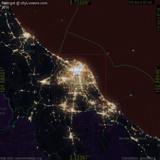
Analysis of Peringat night lights 2016
Square area 10x10 km:
 5.99%
5.99%90-99
8.47%80-89
10.95%70-79
15.29%60-69
30.99%50-59
24.17%40-49
2.48%30-39
1.65%20-29
0%10-19
0%0-9
0%Square area 50x50 km:
3.26%90-99
3.45%80-89
2.52%70-79
5.11%60-69
7.09%50-59
8.82%40-49
7.29%30-39
4.05%20-29
7.36%10-19
18.17%0-9
32.9%Clear (daylight) street map image can be seen on geolist.org.
Map coordinates:
6° 43' 55.5" North, 101° 34' 48.8" East
6° 1' 60" North, 102° 16' 60" East
5° 20' 1.2" North, 102° 59' 11.3" East
Some cities around Peringat sort by population:
• Kota Bharu
11 km =6.8 mi,  336°
336°
• Su-ngai Kolok, TH
35.1 km =21.8 mi,  269°
269°
• Kampong Pangkal Kalong
14.9 km =9.3 mi,  209°
209°
• Tanah Merah
29.8 km =18.5 mi, 209°
• Kampong Kadok
5.2 km =3.2 mi,  224°
224°
• Pasir Mas
16 km =9.9 mi,  276°
276°
• Tak Bai, TH
35.7 km =22.2 mi,  314°
314°
• Tumpat
22.1 km =13.7 mi,  325°
325°
1750582 (p: 23,288)
Sources (retrieved 2019-11-25):
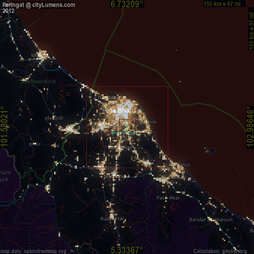
» Earth at Night: Flat Maps 2012, 2016