Bintulu night lights from space
Night Light of Bintulu (Sarawak) from space (Malaysia) Src. Average luminocity for 10x10km area is 30.7662% and for 50x50km: 6.1125%.
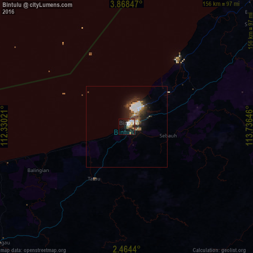
Analysis of Bintulu night lights 2016
Square area 10x10 km:
 6.28%
6.28%90-99
5.41%80-89
4.11%70-79
3.9%60-69
2.81%50-59
2.6%40-49
3.68%30-39
3.46%20-29
7.14%10-19
23.59%0-9
37.01%Square area 50x50 km:
1.12%90-99
1.04%80-89
0.55%70-79
0.34%60-69
0.77%50-59
0.61%40-49
1.14%30-39
1.27%20-29
2.2%10-19
4.02%0-9
86.93%Clear (daylight) street map image can be seen on geolist.org.
Map coordinates:
3° 52' 6.5" North, 112° 19' 48.8" East
3° 10' 0" North, 113° 1' 60" East
2° 27' 51.8" North, 113° 44' 11.3" East
Some cities around Bintulu sort by population:
• Miri
173.5 km =107.8 mi,  37°
37°
• Sibu
166 km =103.1 mi,  234°
234°
• Marudi
181.8 km =113 mi,  51°
51°
• Mukah
108.9 km =67.7 mi,  253°
253°
• Kuala Belait, BN
206.1 km =128.1 mi, 40°
• Seria, BN
214.8 km =133.5 mi, 41°
• Sarikei
205 km =127.4 mi,  235°
235°
• Kapit
130.7 km =81.2 mi,  184°
184°
1737486 (p: 151,617)
Sources (retrieved 2019-11-25):
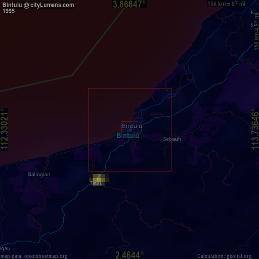
» NASA, Earths city lights 1995
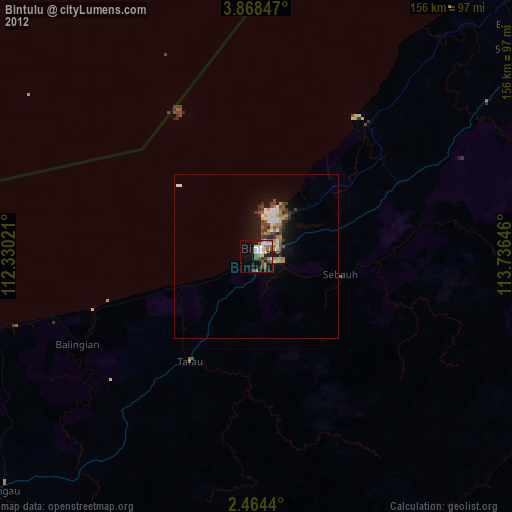
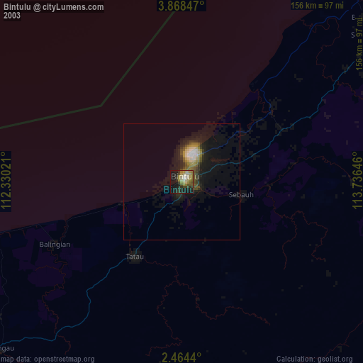
» NASA city lights 2003
» Earth at Night: Flat Maps 2012, 2016