Mukah night lights from space
Night Light of Mukah (Sarawak) from space (Malaysia) Src. Average luminocity for 10x10km area is 10.5108% and for 50x50km: 0.5471%.
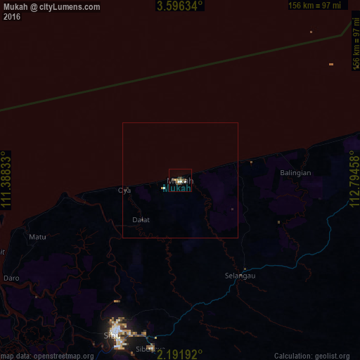
Analysis of Mukah night lights 2016
Square area 10x10 km:
 0.87%
0.87%90-99
1.73%80-89
0.87%70-79
0.87%60-69
1.73%50-59
1.52%40-49
2.81%30-39
3.25%20-29
1.08%10-19
0%0-9
85.28%Square area 50x50 km:
0.04%90-99
0.1%80-89
0.03%70-79
0.07%60-69
0.07%50-59
0.06%40-49
0.11%30-39
0.17%20-29
0.14%10-19
0%0-9
99.2%Clear (daylight) street map image can be seen on geolist.org.
Map coordinates:
3° 35' 46.8" North, 111° 23' 18" East
2° 53' 39.7" North, 112° 5' 29.2" East
2° 11' 30.9" North, 112° 47' 40.5" East
Some cities around Mukah sort by population:
• Kuching
246 km =152.9 mi,  232°
232°
• Miri
269.2 km =167.3 mi,  51°
51°
• Sibu
72.8 km =45.2 mi,  204°
204°
• Bintulu
108.9 km =67.7 mi,  73°
73°
• Marudi
285.5 km =177.4 mi,  59°
59°
• Sarikei
107.5 km =66.8 mi,  216°
216°
• Simanggang
196.4 km =122 mi, 201°
• Kapit
136.8 km =85 mi,  136°
136°
1735339 (p: 49,900)
Sources (retrieved 2019-11-25):
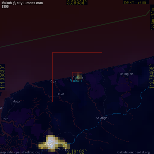
» NASA, Earths city lights 1995
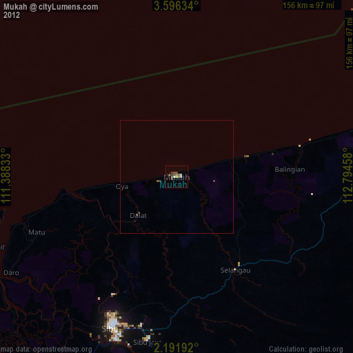
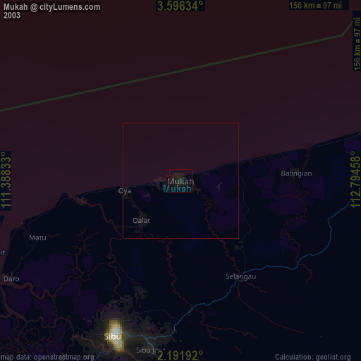
» NASA city lights 2003
» Earth at Night: Flat Maps 2012, 2016