Zacapú night lights from space
Night Light of Zacapú (Michoacán) from space (Mexico) Src. Average luminocity for 10x10km area is 27.5682% and for 50x50km: 5.0556%.
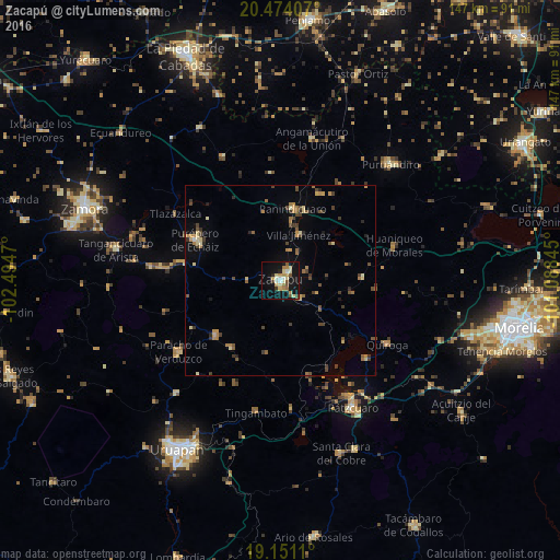
Analysis of Zacapú night lights 2016
Square area 10x10 km:
 1.45%
1.45%90-99
4.55%80-89
6.4%70-79
3.51%60-69
4.75%50-59
3.72%40-49
2.27%30-39
1.86%20-29
1.45%10-19
34.92%0-9
35.12%Square area 50x50 km:
0.06%90-99
0.31%80-89
0.88%70-79
0.79%60-69
0.9%50-59
0.67%40-49
1.39%30-39
0.83%20-29
0.53%10-19
2.06%0-9
91.59%Clear (daylight) street map image can be seen on geolist.org.
Map coordinates:
20° 28' 26.7" North, 102° 29' 40.9" West
19° 48' 50.3" North, 101° 47' 29.7" West
19° 9' 4" North, 101° 5' 18.4" West
Some cities around Zacapú sort by population:
• Paracho de Verduzco
32.7 km =20.3 mi,  235°
235°
• Quiroga
32.6 km =20.3 mi,  120°
120°
• Cherán
22.2 km =13.8 mi,  229°
229°
• Purépero de Echáiz
24.9 km =15.5 mi,  295°
295°
• Nahuatzén
22 km =13.7 mi,  216°
216°
• Chilchota
34.2 km =21.3 mi,  276°
276°
• Carapán
26.1 km =16.2 mi, 281°
• Panindícuaro
19.3 km =12 mi,  9°
9°
3979846 (p: 50,112)
Sources (retrieved 2019-11-25):
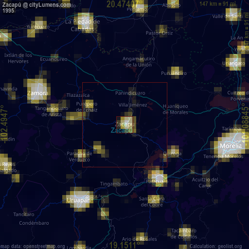
» NASA, Earths city lights 1995
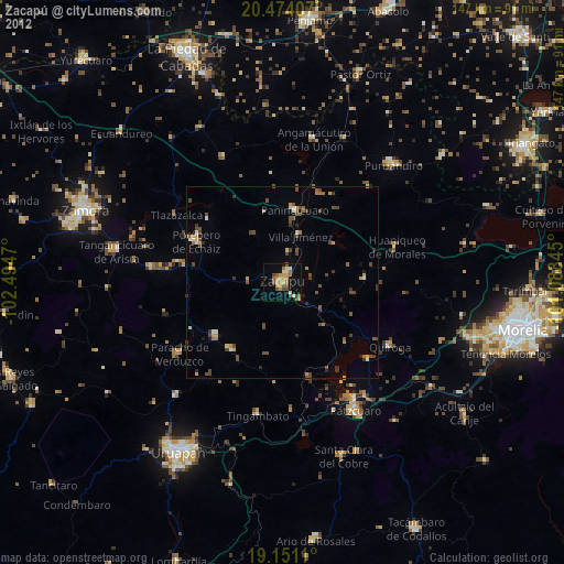
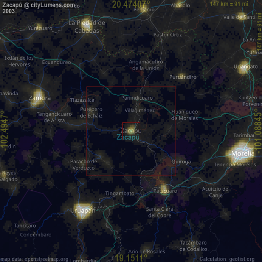
» NASA city lights 2003
» Earth at Night: Flat Maps 2012, 2016