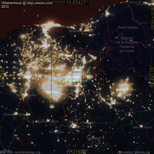
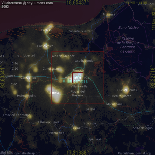
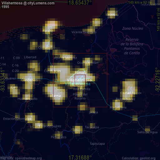
Villahermosa night lights from space
Night Light of Villahermosa (Tabasco) from space (Mexico) Src. Average luminocity for 10x10km area is 90.6926% and for 50x50km: 37.4447%.
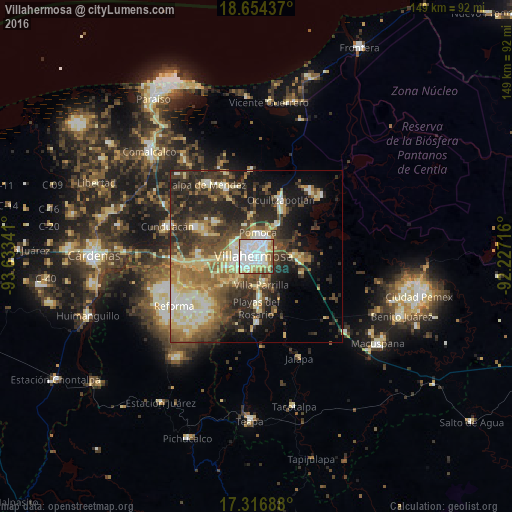
Analysis of Villahermosa night lights 2016
Square area 10x10 km:
 41.99%
90-99
26.62%80-89
16.45%70-79
3.03%60-69
3.68%50-59
6.06%40-49
1.52%30-39
0.65%20-29
0%10-19
0%0-9
0%Square area 50x50 km:
3.82%90-99
6.81%80-89
8.23%70-79
3.12%60-69
5.29%50-59
6.04%40-49
7.09%30-39
8.48%20-29
10.65%10-19
12.2%0-9
28.26%Clear (daylight) street map image can be seen on geolist.org.
Map coordinates:
18° 39' 15.7" North, 93° 38' 0.3" West
17° 59' 12.8" North, 92° 55' 49" West
17° 19' 0.8" North, 92° 13' 37.8" West
Some cities around Villahermosa sort by population:
• Pomoca
7 km =4.3 mi,  359°
359°
• Parilla
8.1 km =5 mi,  169°
169°
• Bosque de Saloya
4.4 km =2.7 mi,  317°
317°
• La Selva
5.3 km =3.3 mi, 319°
• Río Viejo Primera Sección
7.5 km =4.7 mi,  224°
224°
• Huapinol
7.4 km =4.6 mi,  163°
163°
• La Lima
8.5 km =5.3 mi,  182°
182°
• Anacleto Canabal 2da. Sección
10 km =6.2 mi,  262°
262°
3514670 (p: 353,577)
Sources (retrieved 2019-11-25):
» NASA, Earths city lights 1995
» NASA city lights 2003
» Earth at Night: Flat Maps 2012, 2016