Veracruz night lights from space
Night Light of Veracruz from space (Mexico) Src. Average luminocity for 10x10km area is 91.6407% and for 50x50km: 17.7549%.
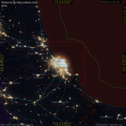
Analysis of Veracruz night lights 2016
Square area 10x10 km:
 49.57%
90-99
30.09%80-89
3.03%70-79
3.25%60-69
4.76%50-59
3.68%40-49
4.33%30-39
1.3%20-29
0%10-19
0%0-9
0%Square area 50x50 km:
3.06%90-99
3.28%80-89
2.19%70-79
2.53%60-69
2.19%50-59
2.04%40-49
3.06%30-39
3.02%20-29
3.7%10-19
7.79%0-9
67.14%Clear (daylight) street map image can be seen on geolist.org.
Map coordinates:
19° 50' 37.3" North, 96° 50' 45.7" West
19° 10' 51.4" North, 96° 8' 34.4" West
18° 30' 55.9" North, 95° 26' 23.2" West
Some cities around Veracruz sort by population:
• Valente Diaz
8 km =5 mi,  255°
255°
• Las Amapolas
6.6 km =4.1 mi,  240°
240°
• Fraccionamiento Geovillas los Pinos
9.6 km =6 mi,  294°
294°
• El Tejar
12 km =7.5 mi,  189°
189°
• Boca del Rio
9.4 km =5.8 mi,  154°
154°
• Fraccionamiento Arboledas San Ramón
9.8 km =6.1 mi, 188°
• Antón Lizardo
20.8 km =12.9 mi,  130°
130°
• Paso del Toro
16.2 km =10.1 mi,  177°
177°
3514783 (p: 428,323)
Sources (retrieved 2019-11-25):
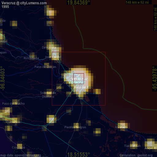
» NASA, Earths city lights 1995
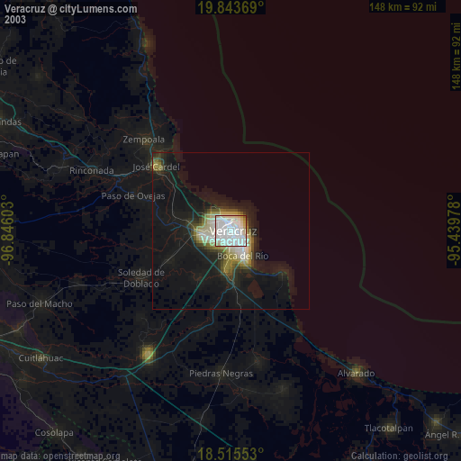
» NASA city lights 2003
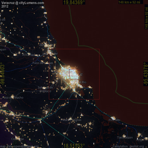
» Earth at Night: Flat Maps 2012, 2016